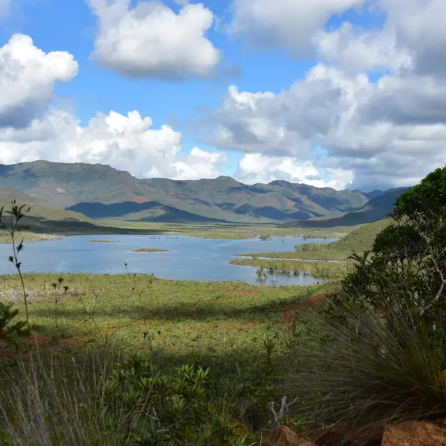
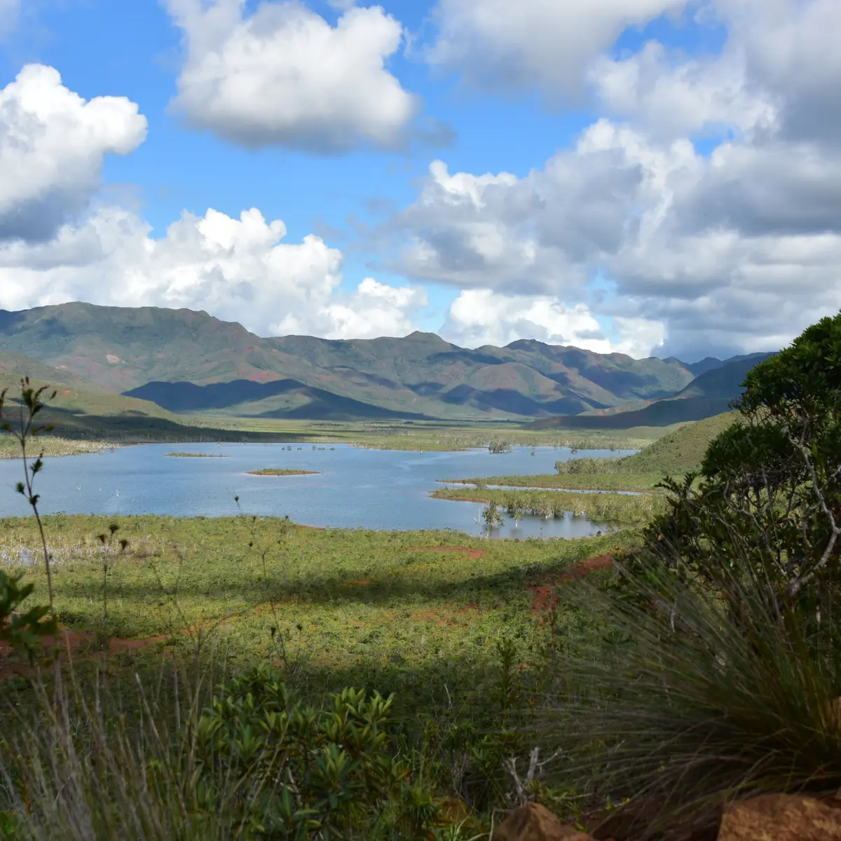
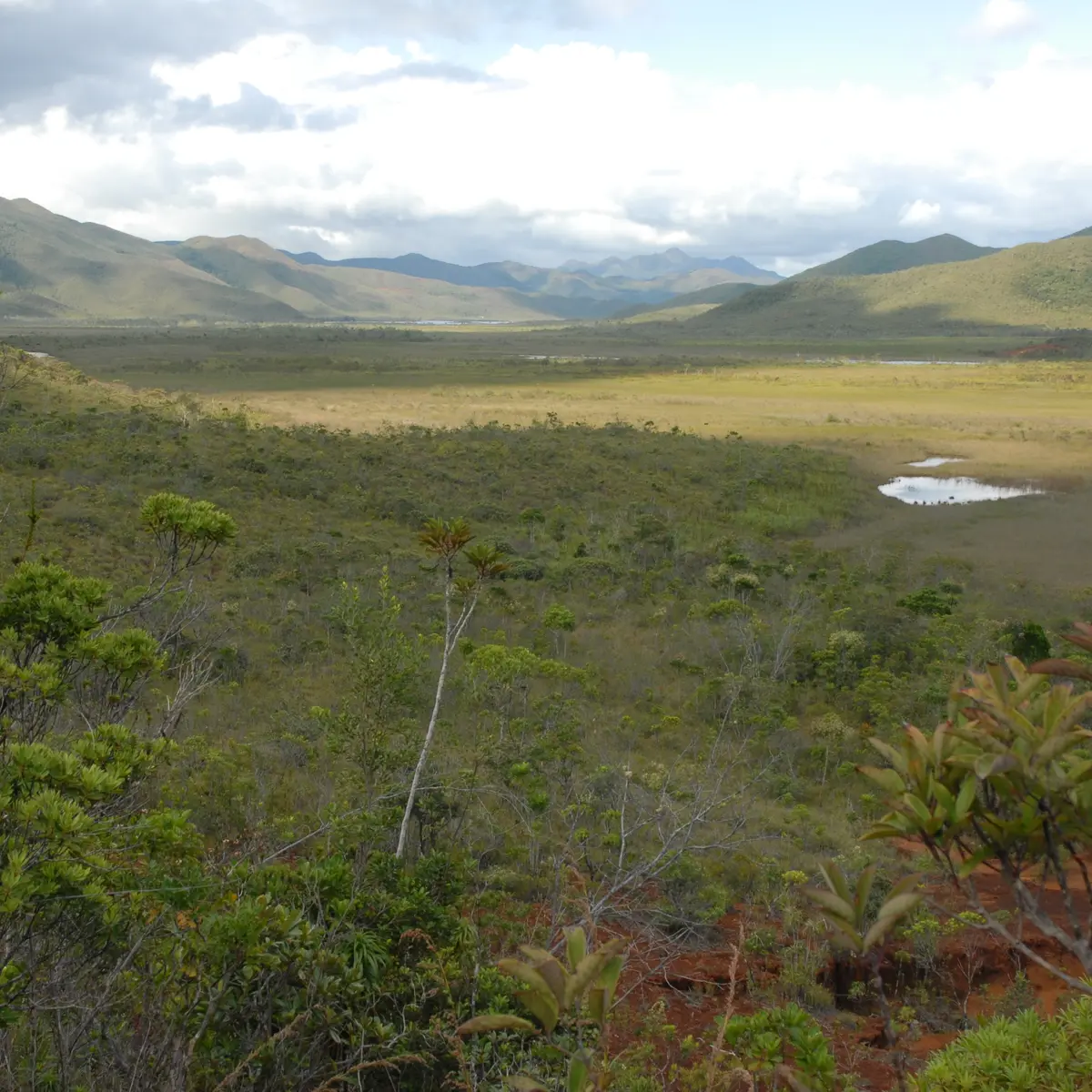
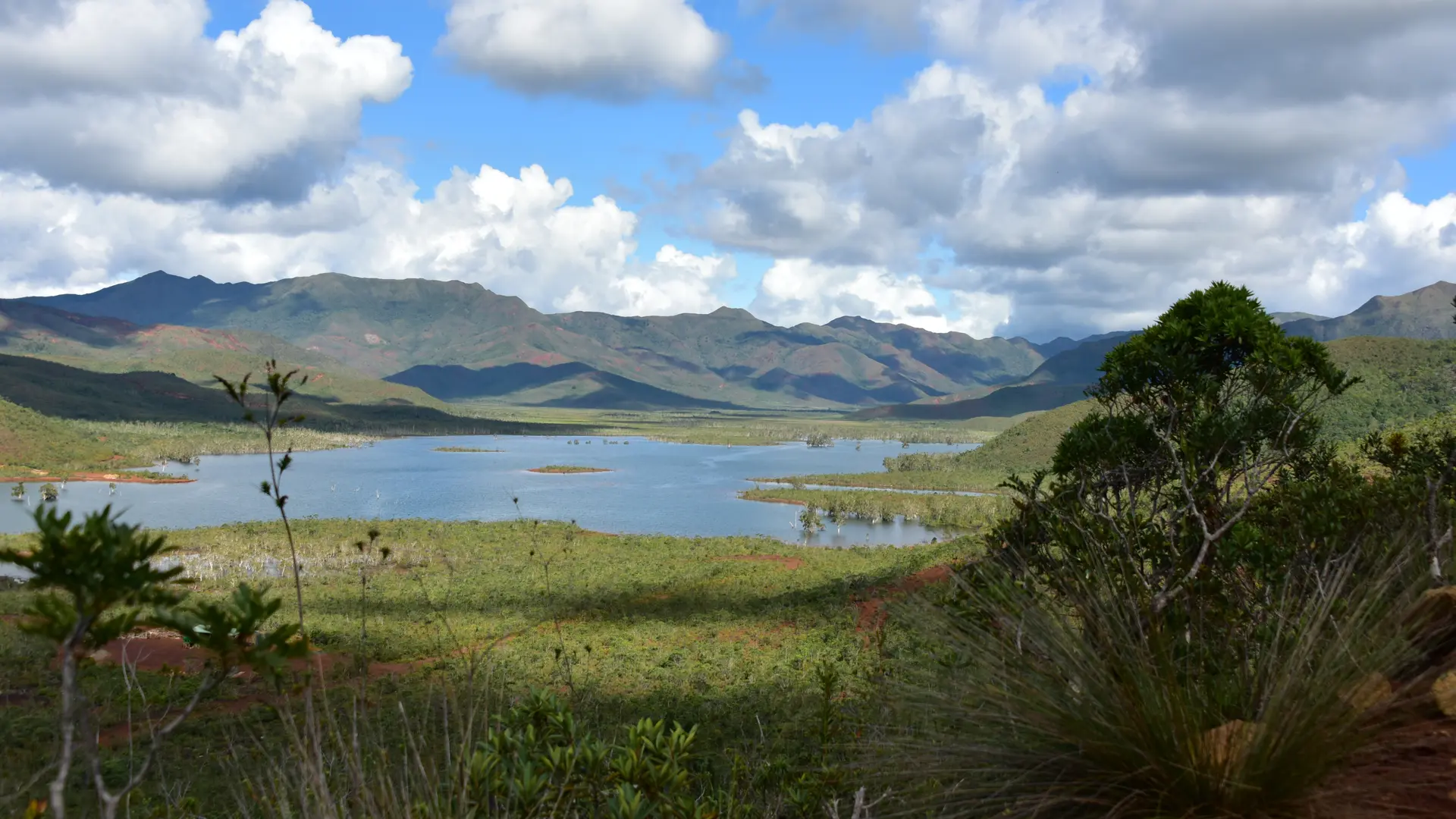
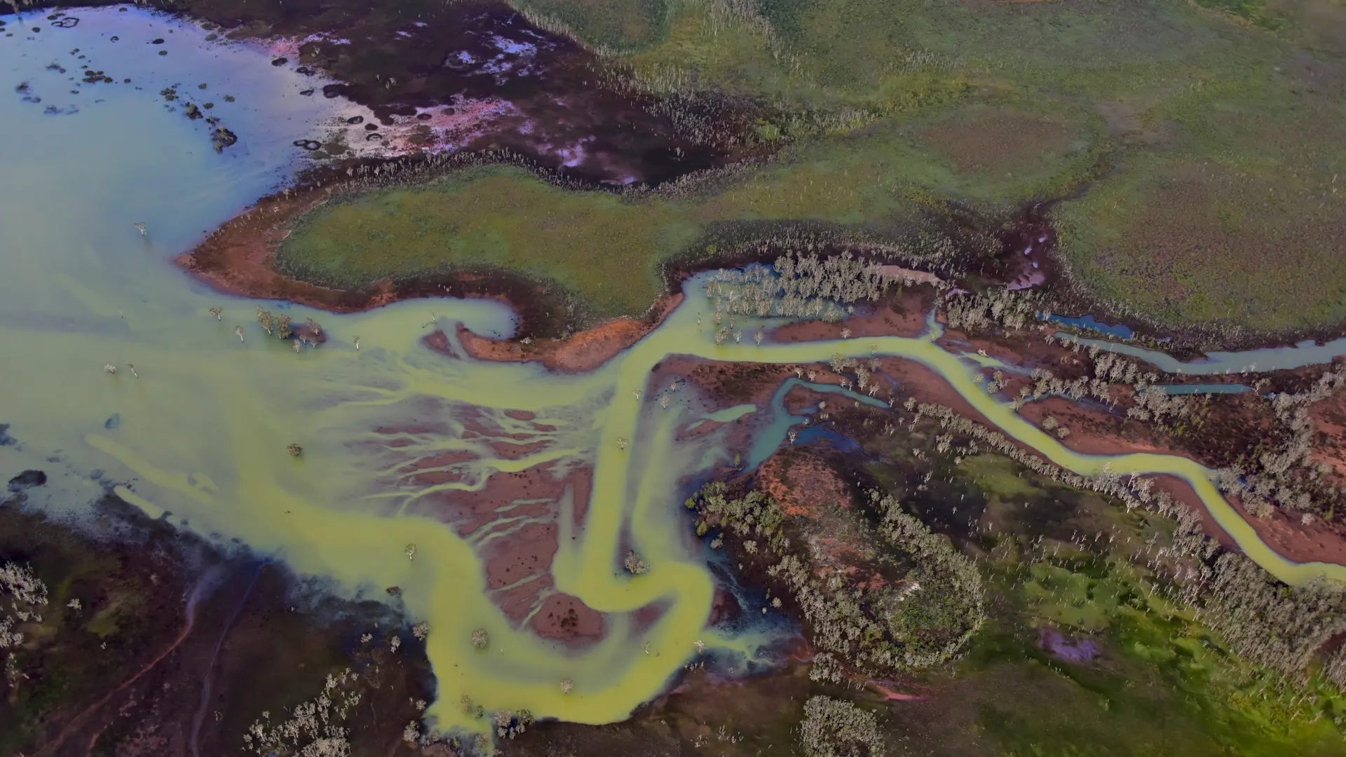
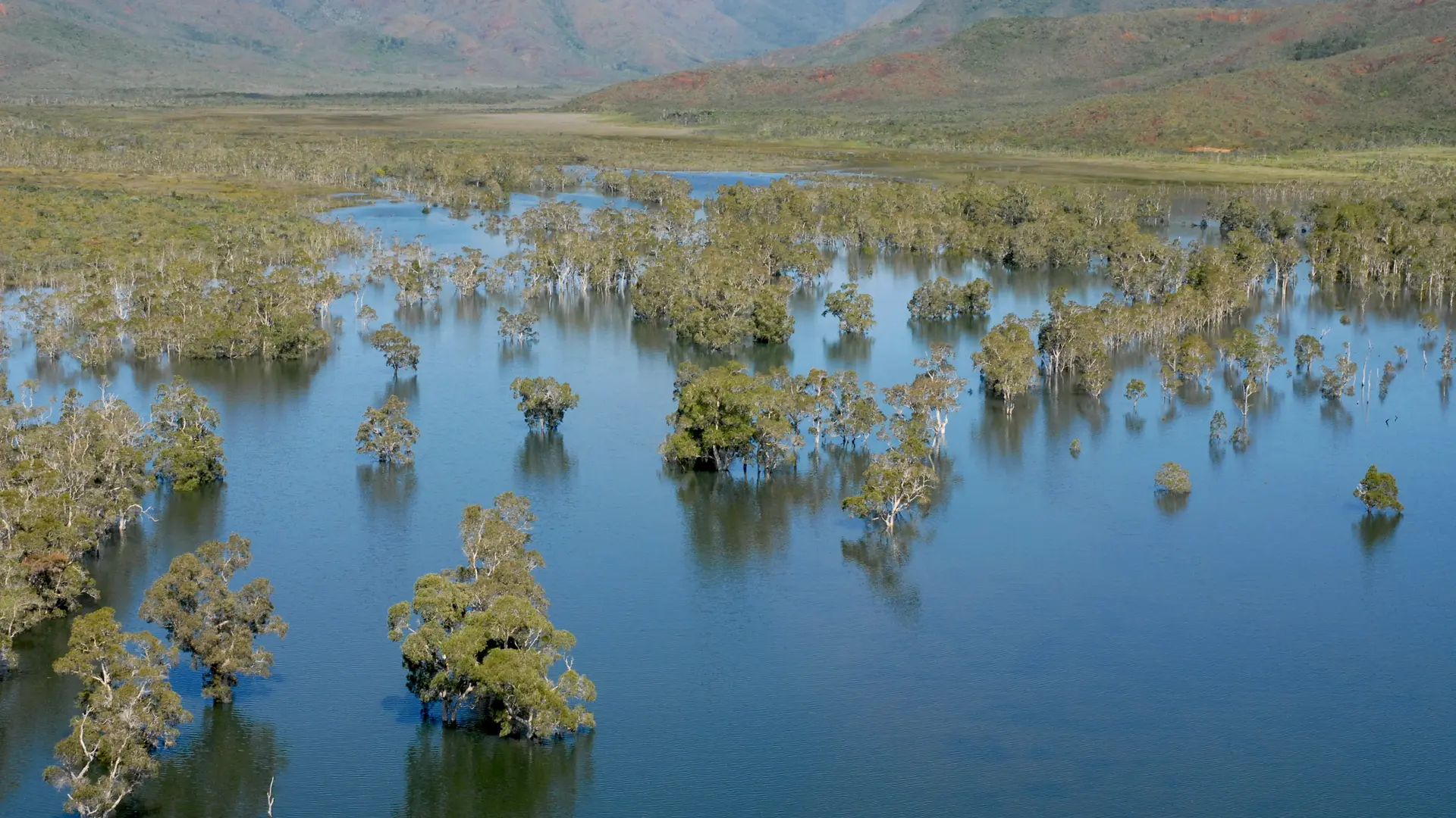
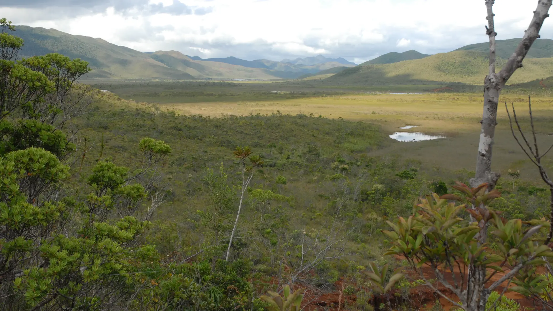
This route leads to the site of a small chromite vein exploited at the beginning of the last century. Remains of the aerial ferry are still visible. It goes along mainly under vegetation cover. Some beautiful viewpoints on the surroundings.
Location: Parc Provincial de la Rivière Bleue [Blue River Provincial Park], to the North-East of Nouméa by the RP 1, RP 3, in the direction of Pont Pérignon (car park), then shuttle (paying service) or personal mountain bike (26 km A.R.)
Car park: Pérignon Bridge (GPS: 675 578 – 7 551 735; alt. 173m)
A mountain bike is useful to reach the start and avoid the approach on foot (11.5 km A.R.).