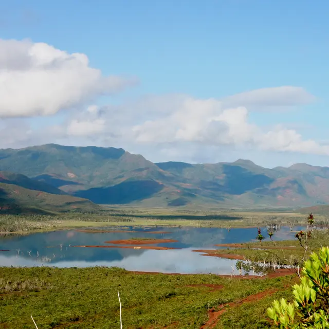
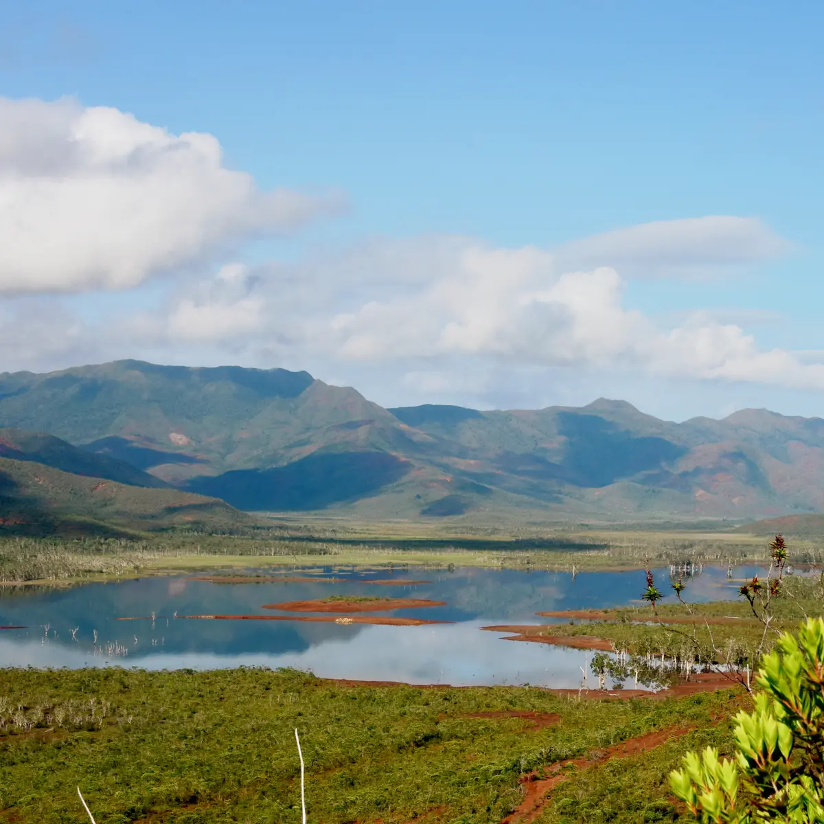
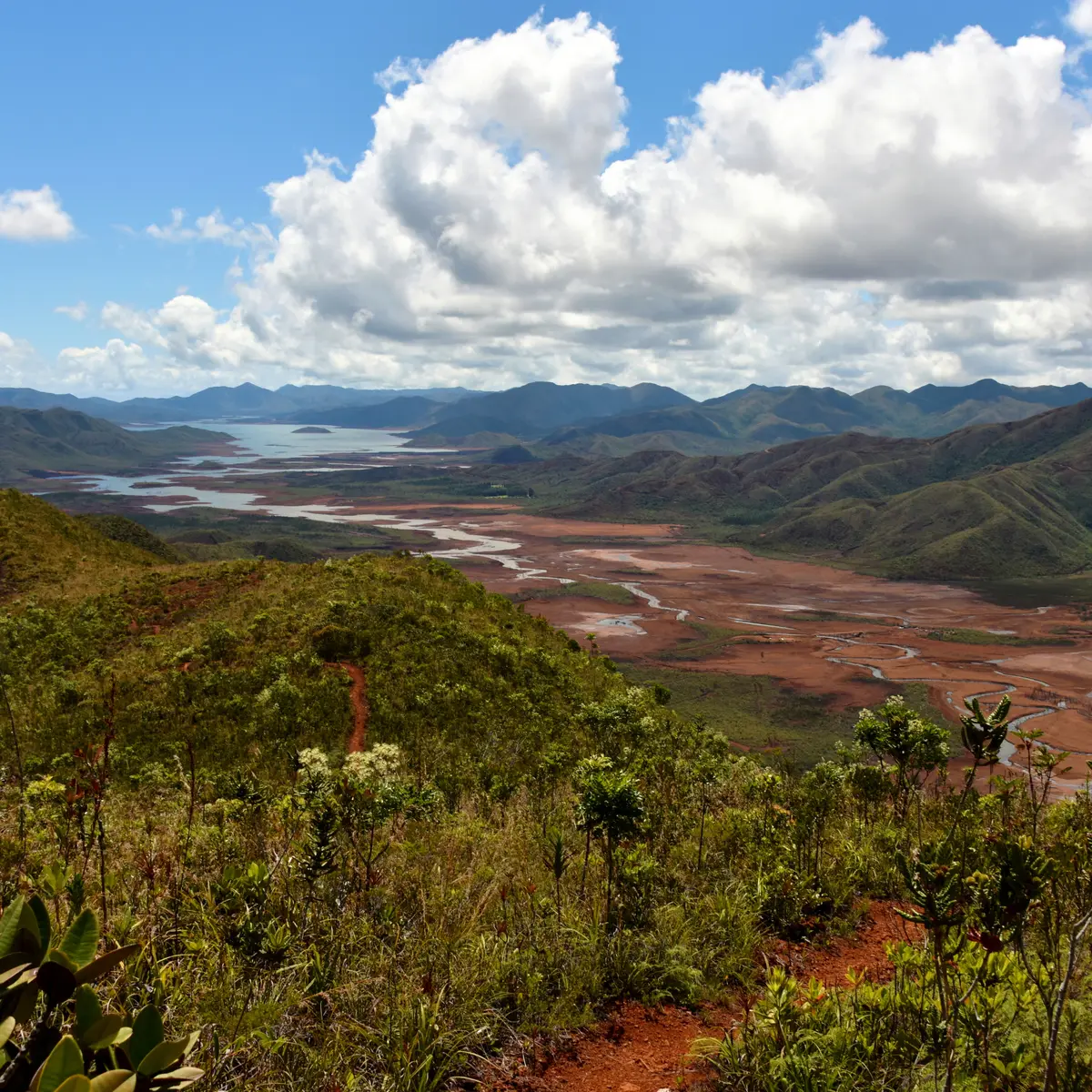
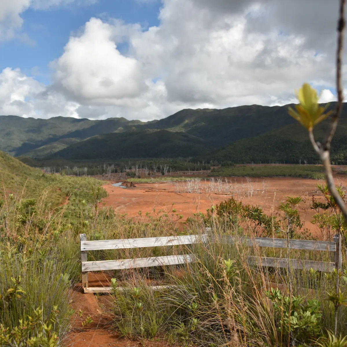
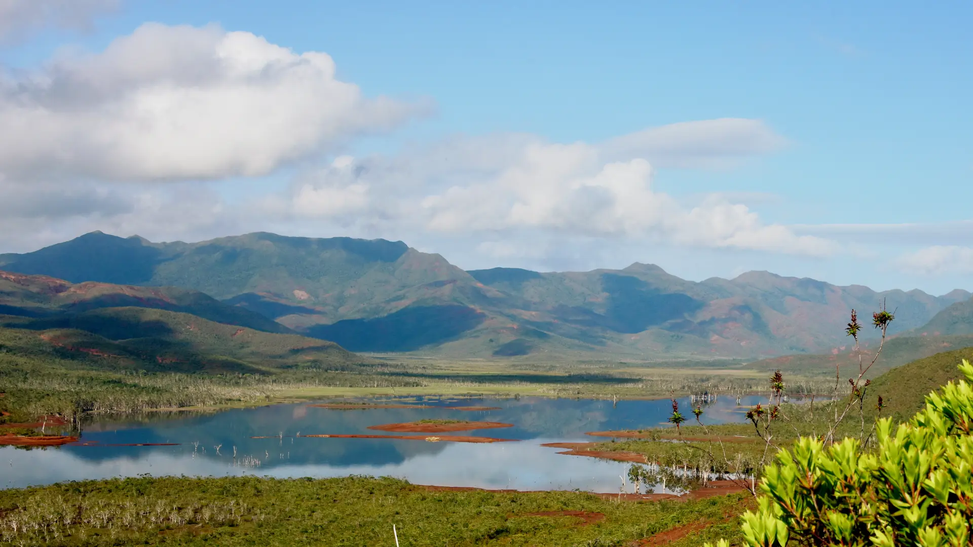
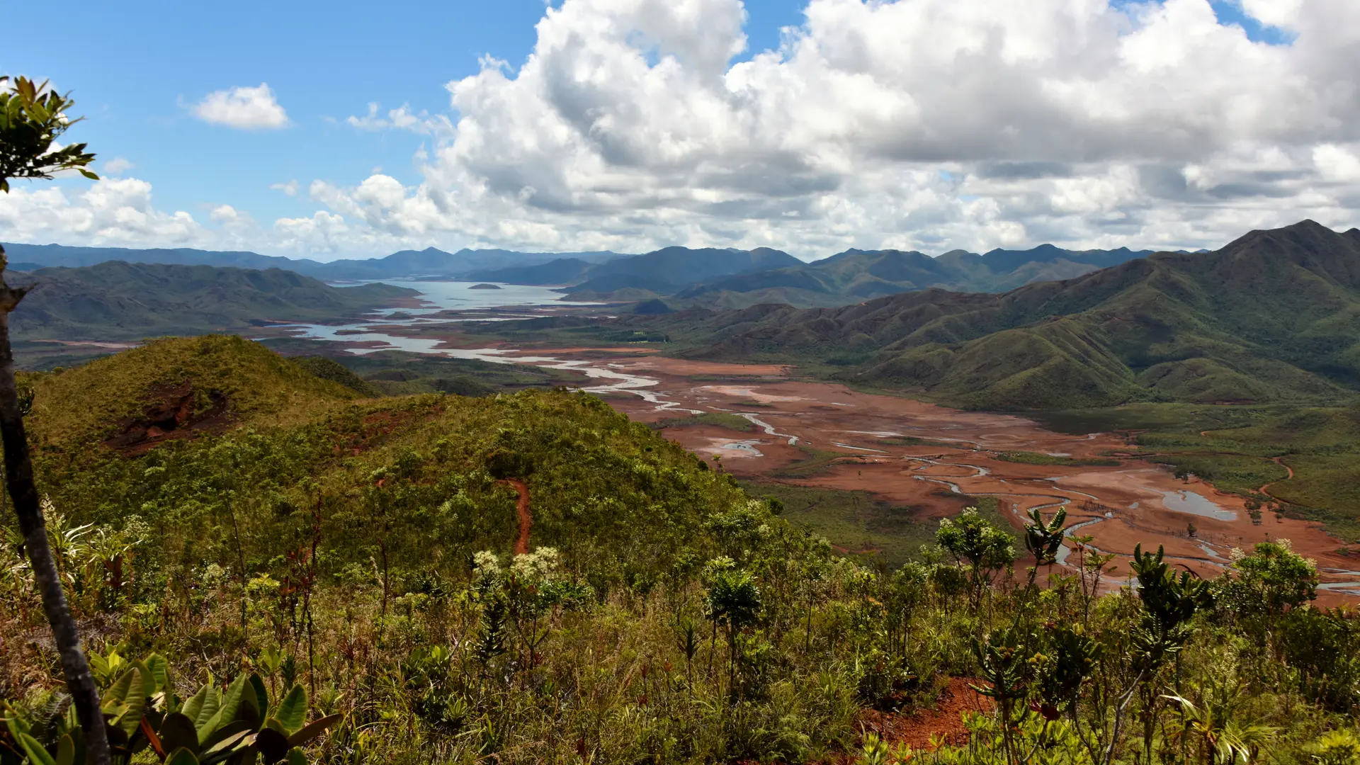
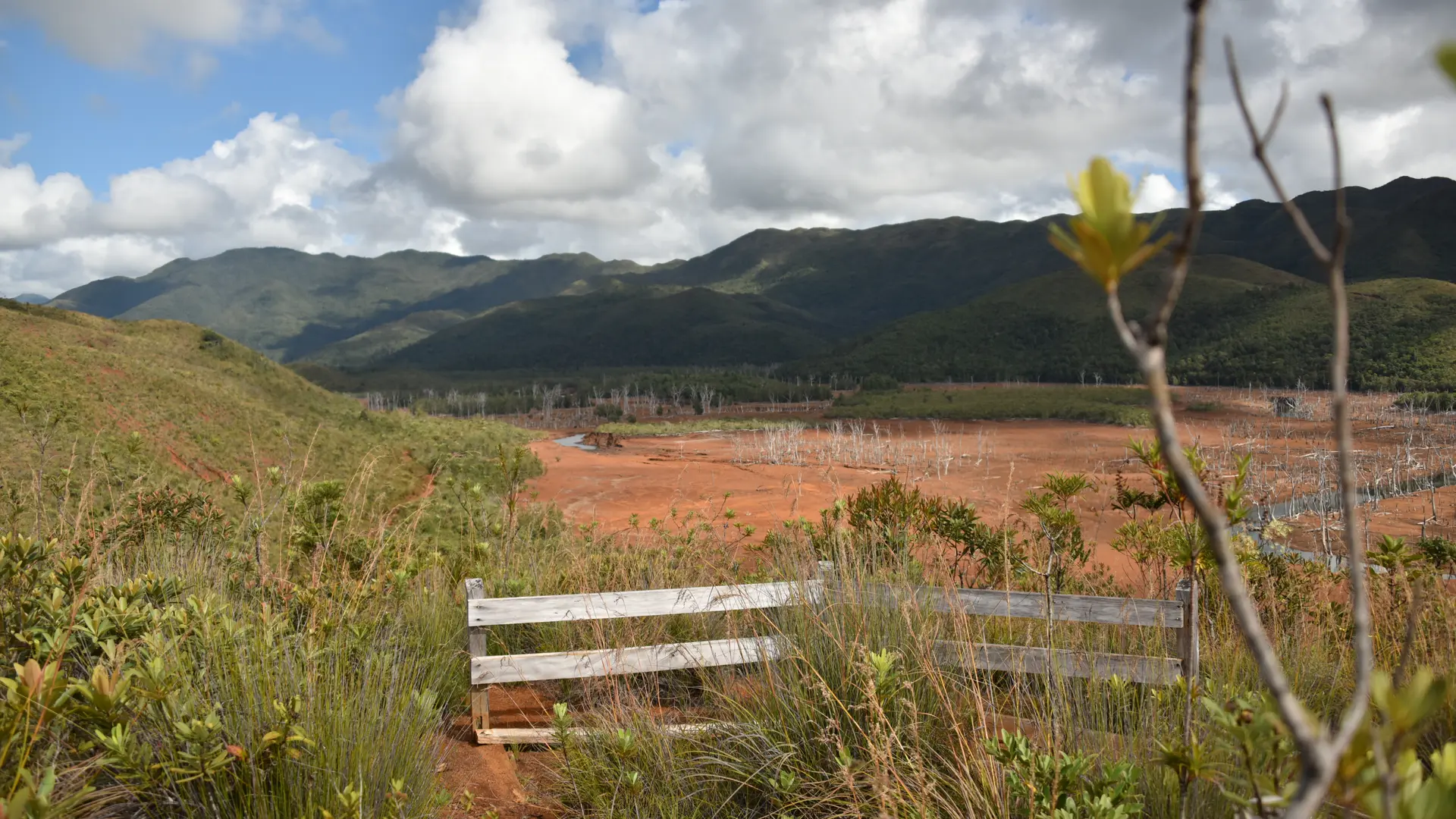
This itinerary allows you to gain some altitude. It offers magnificent views of the typical and picturesque landscapes of the South of the Blue River Provincial Park.
FFrandonnée® grading
* Effort: IBP 51 Not very difficult (orange)
* Technical difficulty: Fairly easy (light blue)
* Risk: low (green)
* Overall grading: Not very difficult (orange)
Further information on localisation
Further information on localisation
Location : Blue River Provincial Park, North-East of Nouméa by the RP 1, RP 3, direction Pont Pérignon (parking), then shuttle (paying service) or personal mountain bike (26 km A.R.)
Parking: Pont Pérignon (GPS: 675 578 - 7 551 735; alt. 173 m),
The shuttle bus can be used on the way back if necessary (reserve at the reception desk).