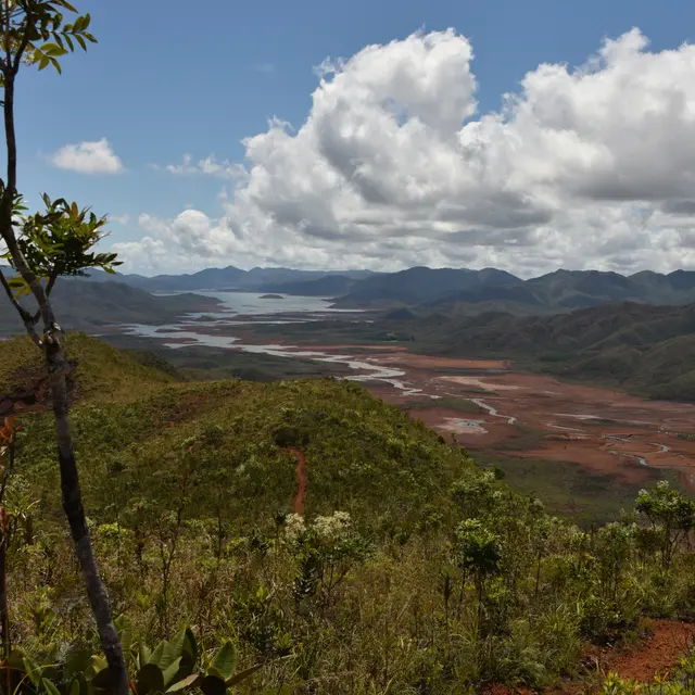
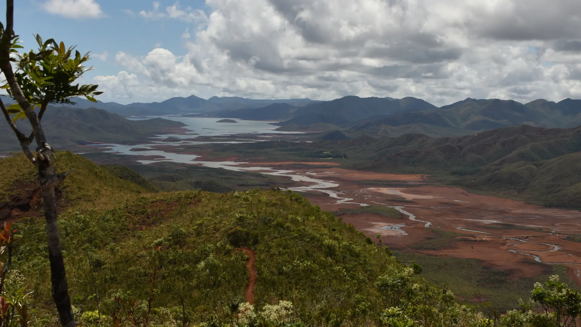
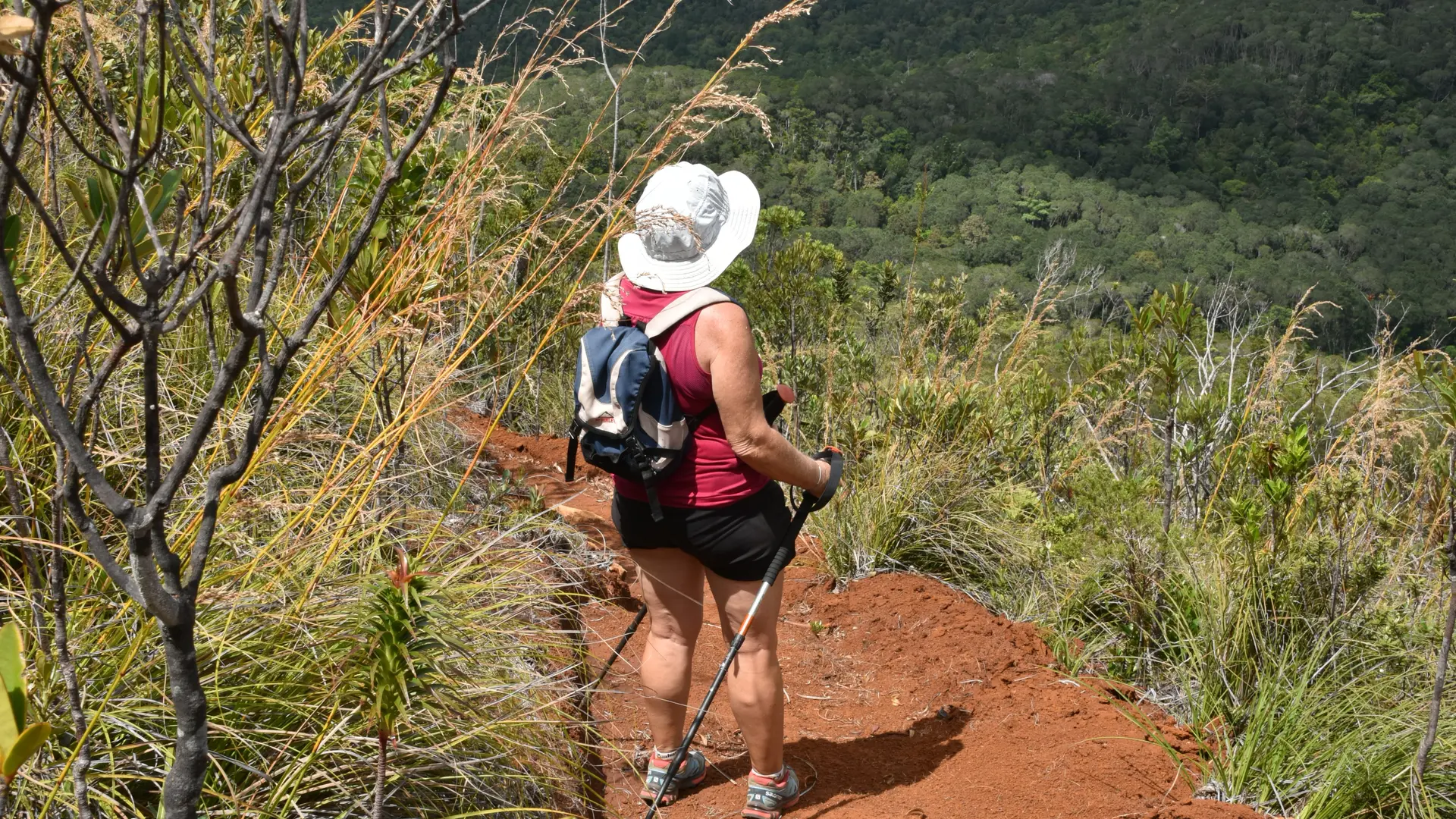
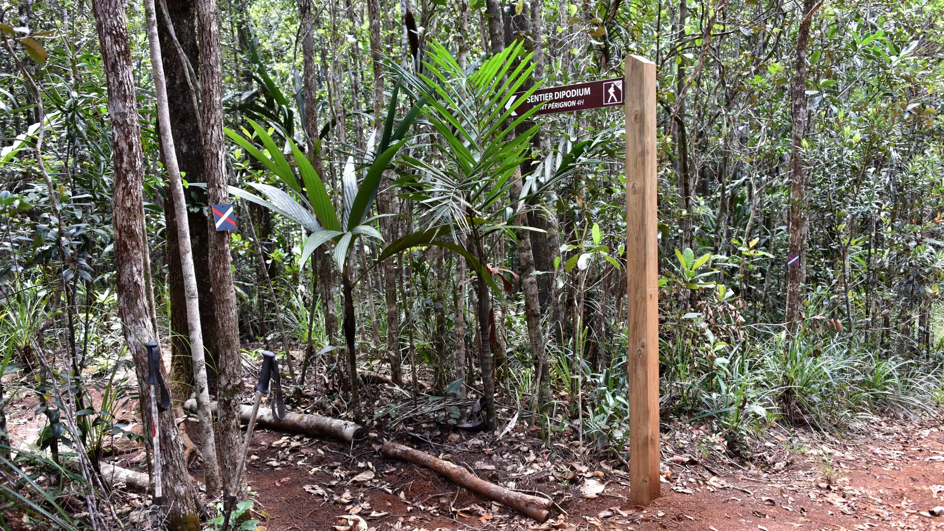
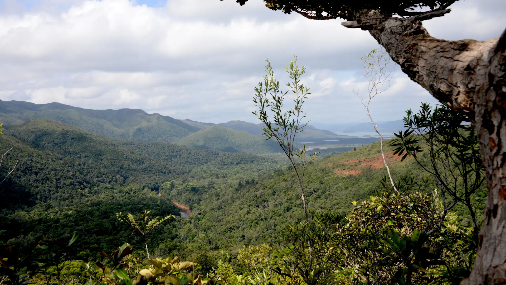
The itinerary follows old mule tracks, used in the last century by the miners. It allows you to discover the different environments that characterize South Caledonia with beautiful views of the valley of the Blue River.
FFrandonnée® grading
* Effort: IBP 51 Not very difficult (orange)
* Technical difficulty: fairly easy (light blue)
* Risk: low (green)
* Overall rating: Not very difficult (orange)
Entrance fee to Blue River Provincial Park.
Further information on localisation
Further information on localisation
Location : Blue River Provincial Park, North-East of Nouméa by the RP 1, RP 3, direction Pont Pérignon (parking), then shuttle (paying service) or personal mountain bike.
Parking : Pont Pérignon (GPS : 675 578 - 7 551 735 ; alt. 173 m)
Then take the shuttle bus to reach the starting point.