Botanical Trail of the Forest of Cycas

  • Sport
  • Pedestrian sports
  • Course
  • Hiking itinerary
Elevation : 4m
Plage de la Roche Percée, 98870 Bourail

Description

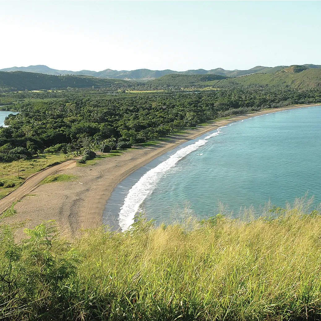
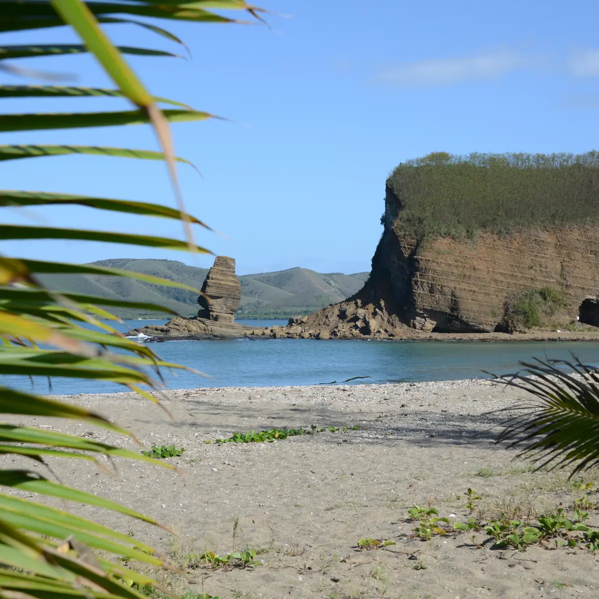
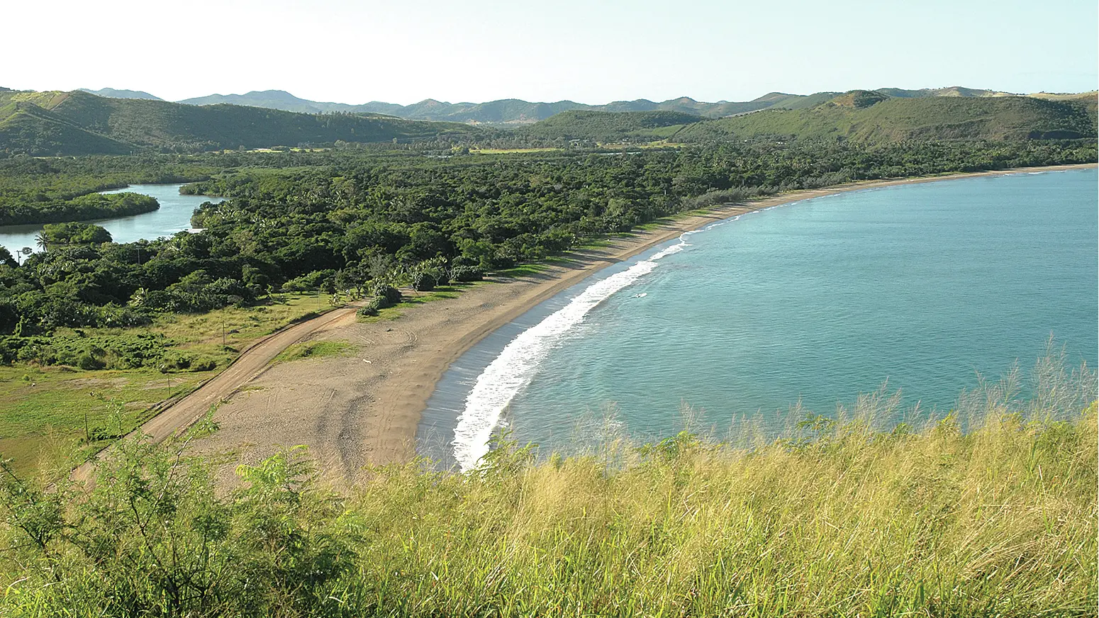
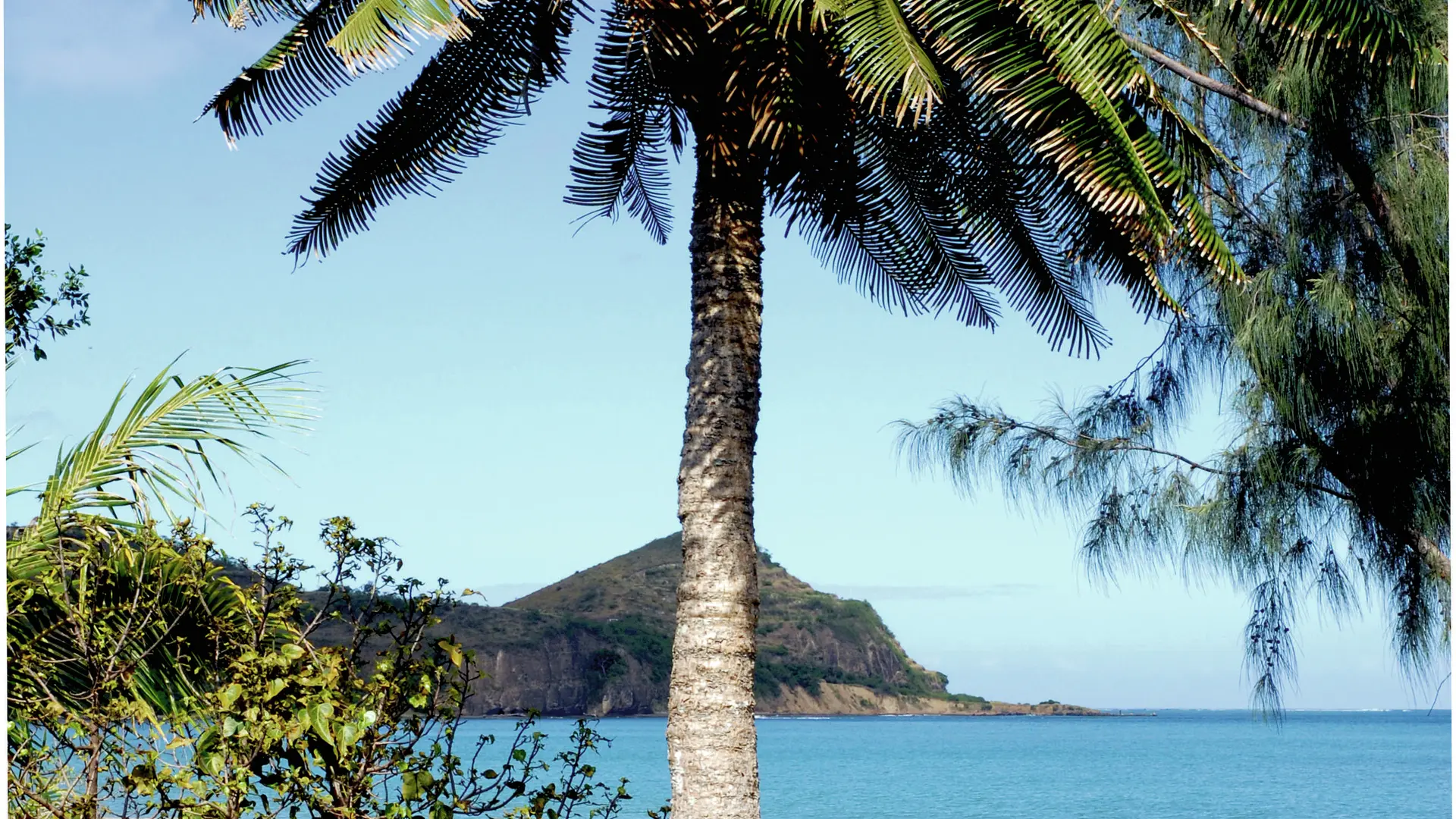
This small family botanical circuit is located in the heart of a registered site. It winds through a beautiful preserved dry forest, then through a dense and shaded mangrove. Information panels
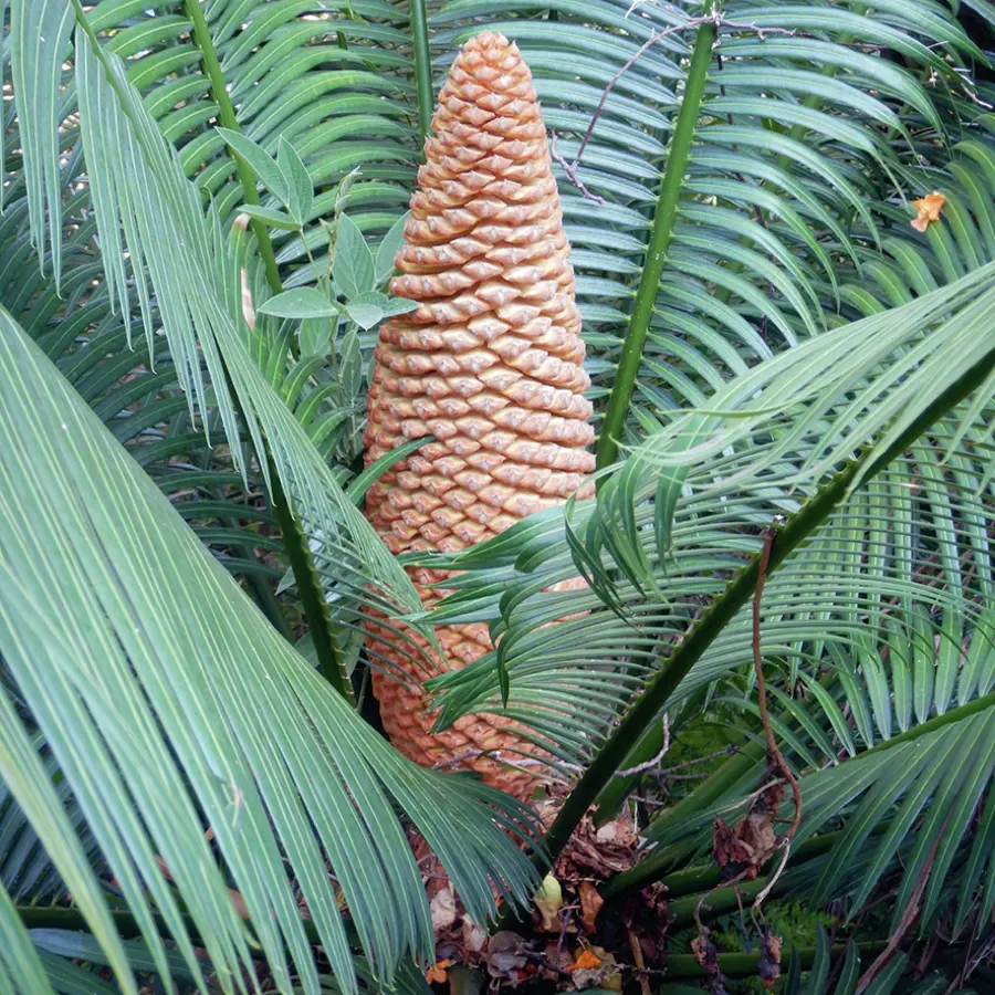
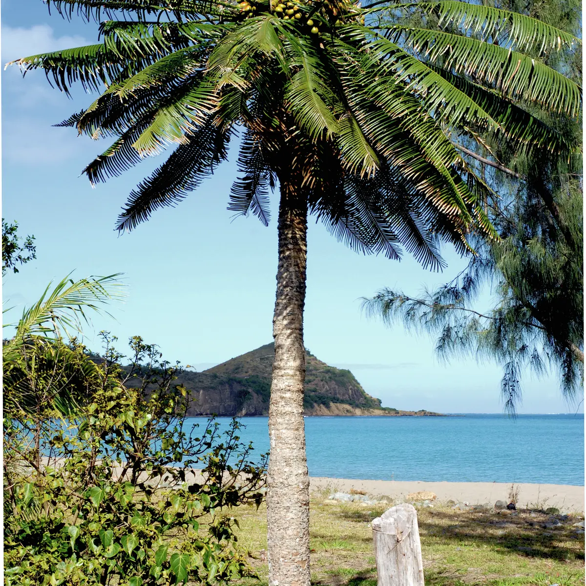
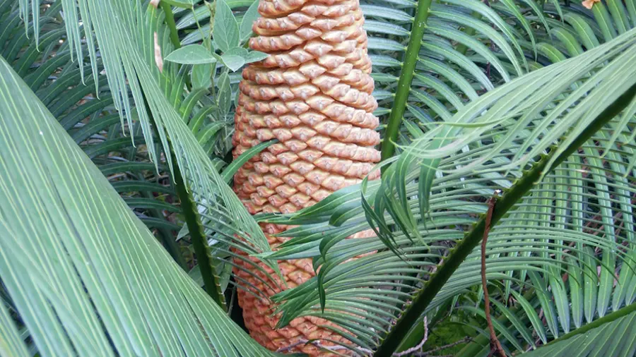
DESCRIPTION OF THE TRACK D - Departure: enter the forest by a small path facing north-east (the route enters a dry forest, also called sclerophyll, which contains diversified and large species. The most spectacular are the giant cycads with an archaic silhouette scattered in the undergrowth and on the edge of the beach). 1- Information panel (the dry forest): a few dozen meters further on, at the intersection, turn right. The path then meanders through pleasant, open undergrowth on flat, sandy-loamy alluvial soil. Its direction is generally south-east. Reach the second panel. 2 - Information panel (the Cycas forest): head east. Reach the mangrove that borders the Nera estuary. 3 - Information board (the mangrove) (GPS: 548 397– 7 609 954): then follow the wetland towards the north-west, then return to the starting point by taking the well-marked path which winds through the forest (south-west). It joins the outward route to the east of the starting point (Point 1). © Text J.F. Clair

Further information on localisation

Further information on localisation
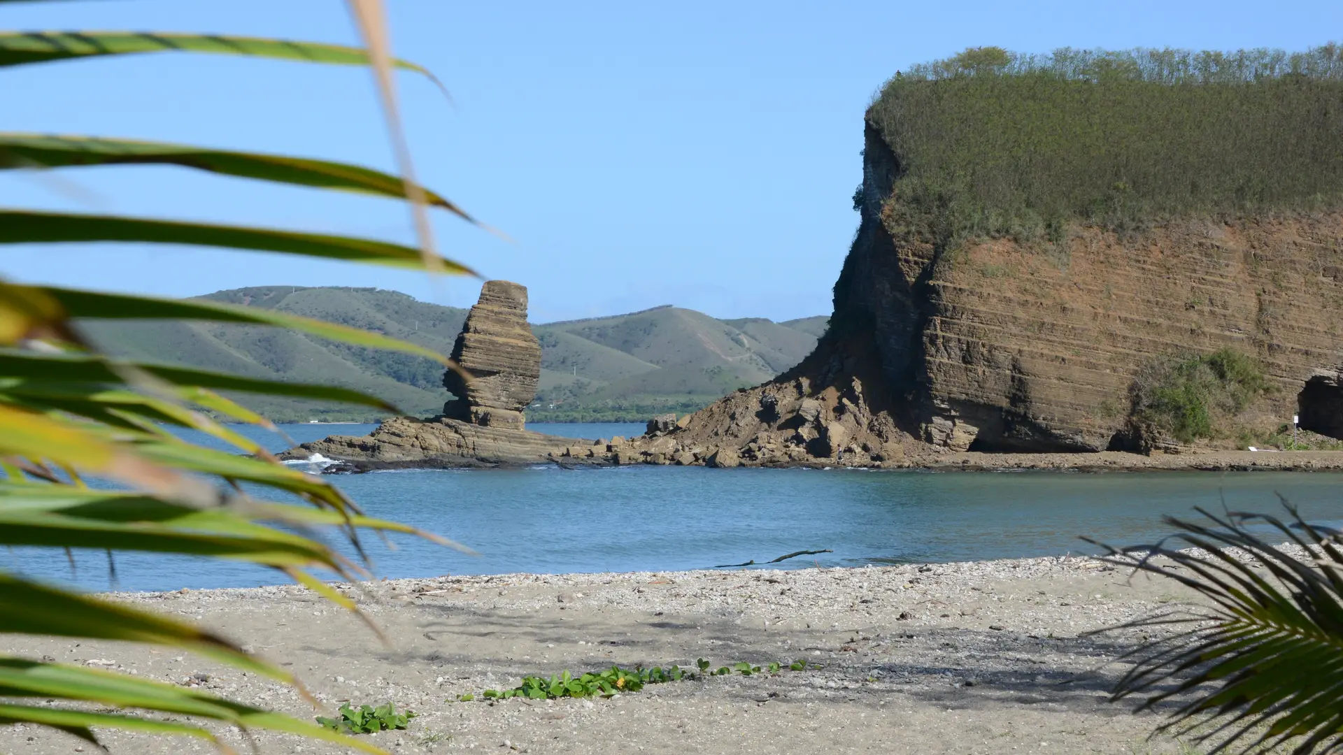
Location: Roche Percée Beach, 167.5 km north-west of Nouméa on the RT 1, RT 27 and RM 20 Car park: near the departure point (GPS: 548 061 – 7 609 851)

Services

Car park
Animals accepted

Groups (Max capacity)

Groups (Max capacity)
  • 12 Maximum number of people

Plain text period

All year round daily.

Subject to favorable weather.

Environment

  • Overview on river
Updated on 07 July 2026 at 13:55
by Sud Tourisme Nouvelle-Calédonie
(Offer identifier : 5509924)
Report mistake
Page suggestions
Filter search
Page types
  • All
  • Articles
  • Agenda
  • Lists