See photos (2)
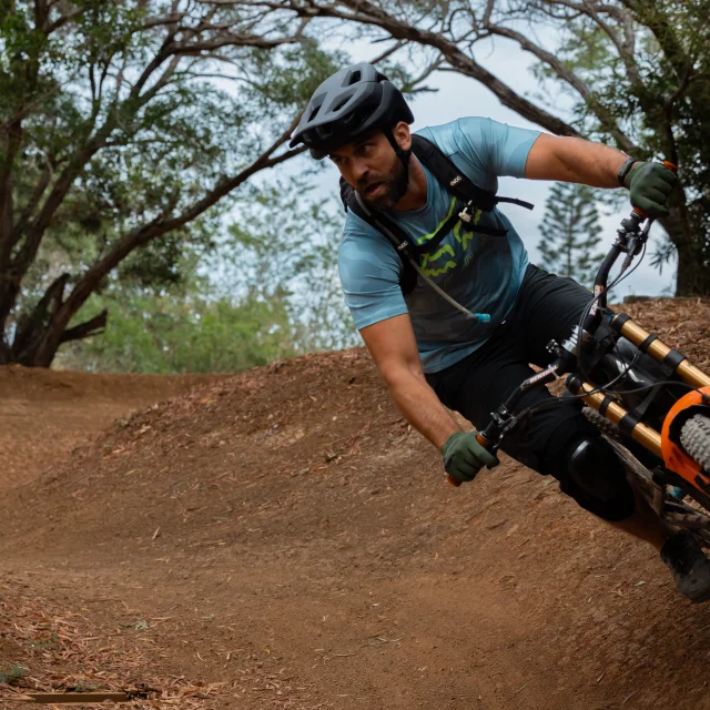
Trail 7 - Carenage River Trail to Netcha Loops
Sport, Cycling sports, Mountain biking itinerary
in Yaté
21.2
km
-
Loop route of 2 hours over 12.4 km, but a very difficult course. Departure from the parking lot at the Col de la Capture.
-
Experienced mountain bikers will be thrilled by the very technical sections throughout the descent to the Carénage Bay. This route offers stunning views of the sea. Beware of pedestrians, as most of the descent is on the GRNC 1 trail, where hikers have priority. Along this route, you will encounter the Lovers' Waterhole, the Oasis, and access to the Carénage Waterfall.
- Departure
- Yaté
-
-
Difference in height
- 504.526 m
-
-
-
Plain text period
- All year round.
-
-
-
Spoken languages
-
-
-
-
-
Documentation
- GPX / KML files allow you to export the trail of your hike to your GPS (or other navigation tool)
-
- See all reviews
- 505 meters of difference in height
-
- Maximum altitude : 309 m
- Minimum altitude : 3 m
- Total positive elevation : 505 m
- Total negative elevation : -483 m
- Max positive elevation : 136 m
- Min positive elevation : -132 m