Pedestrian path of the Great Kaori

Elevation : 201m
98834 Yaté
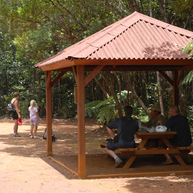
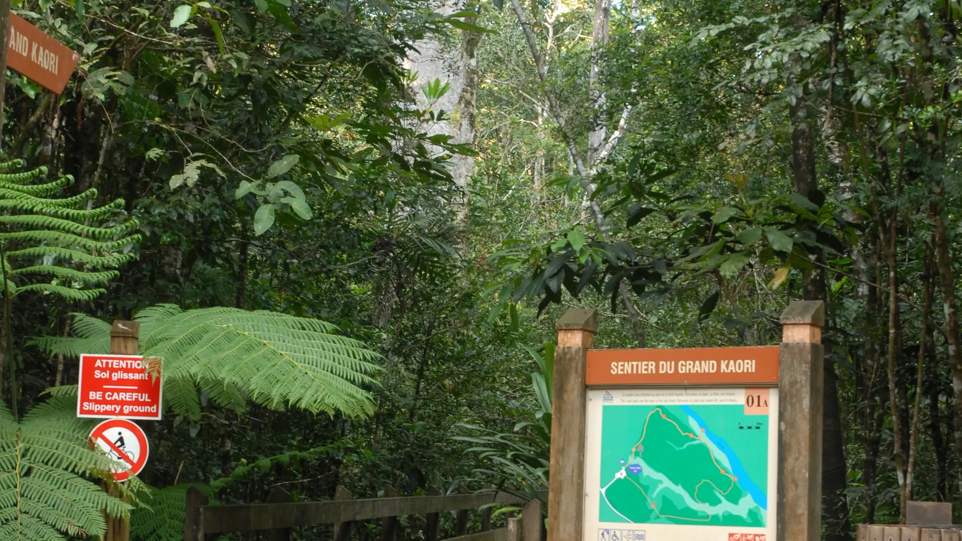
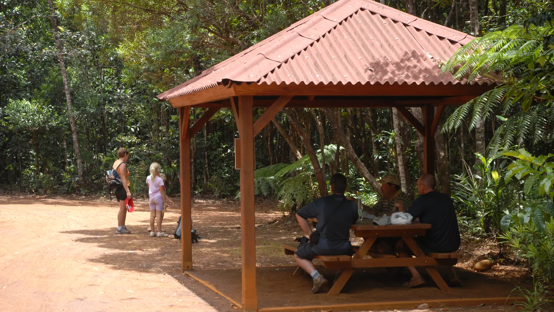
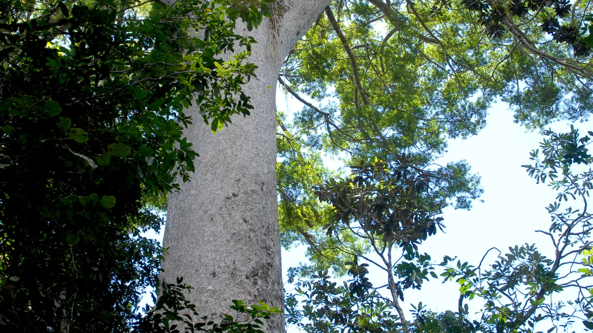
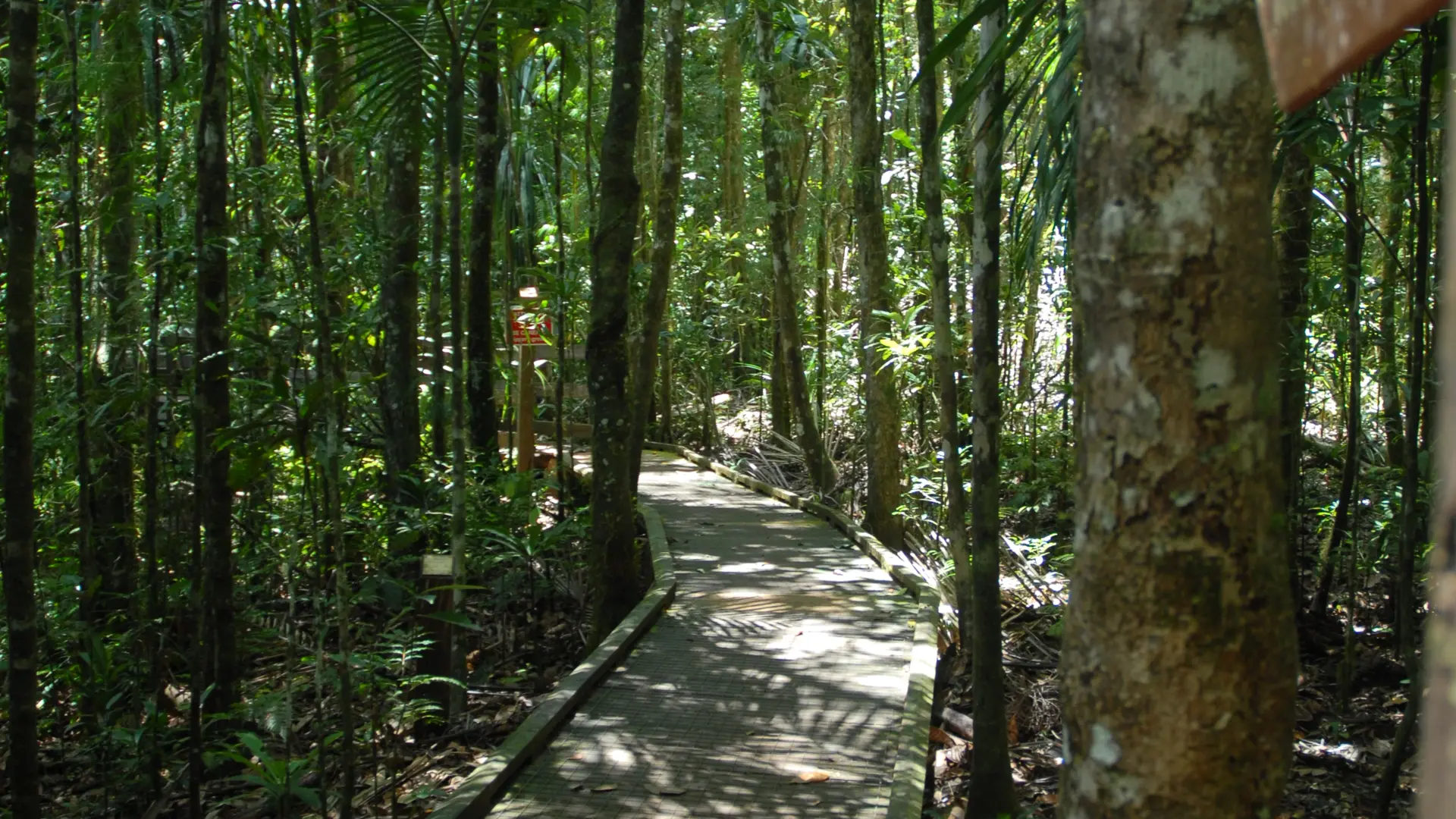
Small loop in the heart of the primary forest. The route is marked with educational panels.
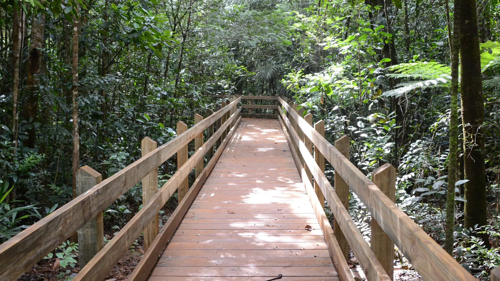
1 Departure (672,924 - 7,555,426; alt. 183 m): from the main trail, near the faré, enter the forest towards the north and reach the wooden footbridge that enters the large primary forest.


2 Grand Kaori (672,988 - 7,555,503; alt. 190 m): after the Grand Kaori site, continue north. At the contact with the Blue River, turn right towards the east until a fork.

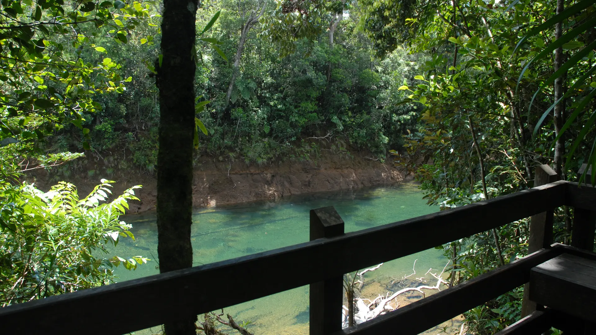
3 TD intersection (673,182 - 7,555,467; alt. 169 m): continue straight ahead to reach the lookout on the river's upper slopes.


4 Lookout (673 207 - 7 555 454; alt. 176 m): go back to the fork and turn left. The trail winds through the forest. It crosses a small creek, turns right to the west.

5 Petit Pont (673,048 - 7,555,391; alt. 192 m): cross it. Some remains of logging (rails).

6 Remains of the logging (673 034 - 7 555 408; alt. 201 m) : go back to the starting point.

Services

Services

Picnic area
Public WC
Themed path
Botanic path
Sustainable development
Outhouse

Documentation

Documentation

Location

Location

Pedestrian path of the Great Kaori
Elevation : 201m
98834 Yaté

Spoken languages

Spoken languages
  • French

Access

Access
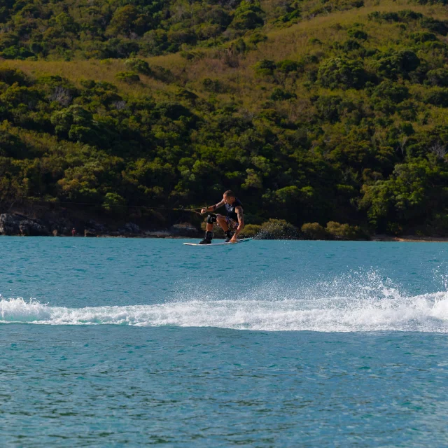
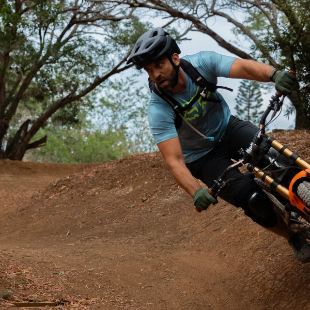
  • Location : Blue River Provincial Park, North-East of Nouméa by the RP 1, RP 3, direction Pont Pérignon (parking), then shuttle (paying service) or personal mountain bike (26 km A.R.)

    Parking : Pont Pérignon (GPS : 675 578 - 7 551 735 ; alt. 173 m)
Updated on 15 January 2025 at 00:45
by Sud Tourisme Nouvelle-Calédonie
(Offer identifier : 5614299)
Report mistake
Close
Page suggestions
Filter search
Page types
  • All
  • Articles
  • Agenda
  • Lists
Aucun résultat