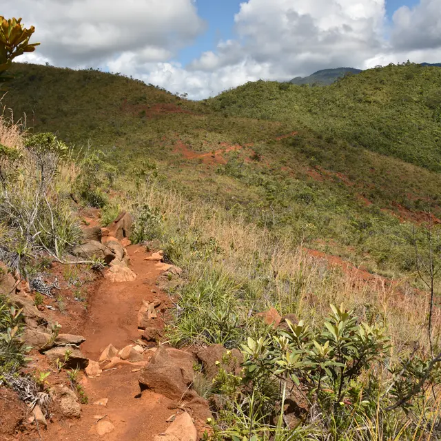
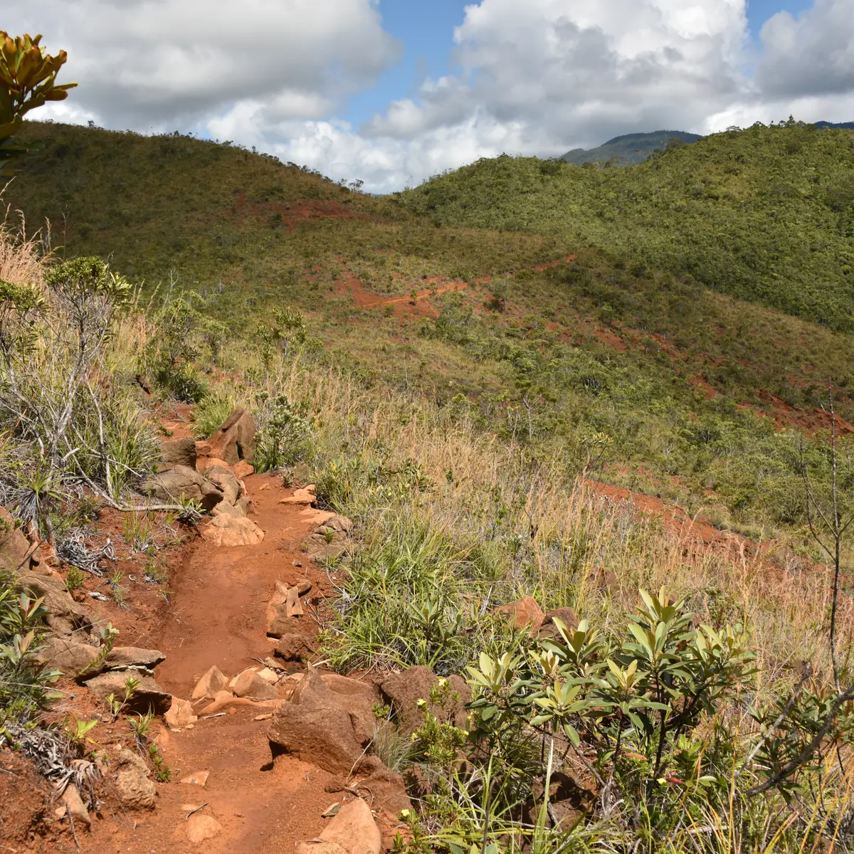
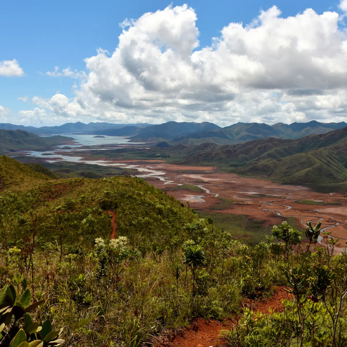
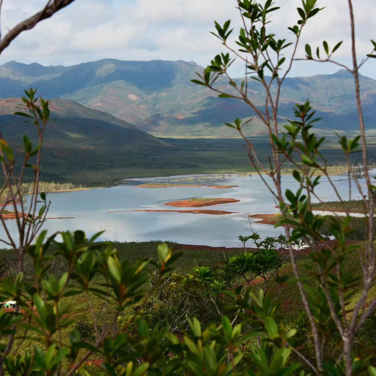
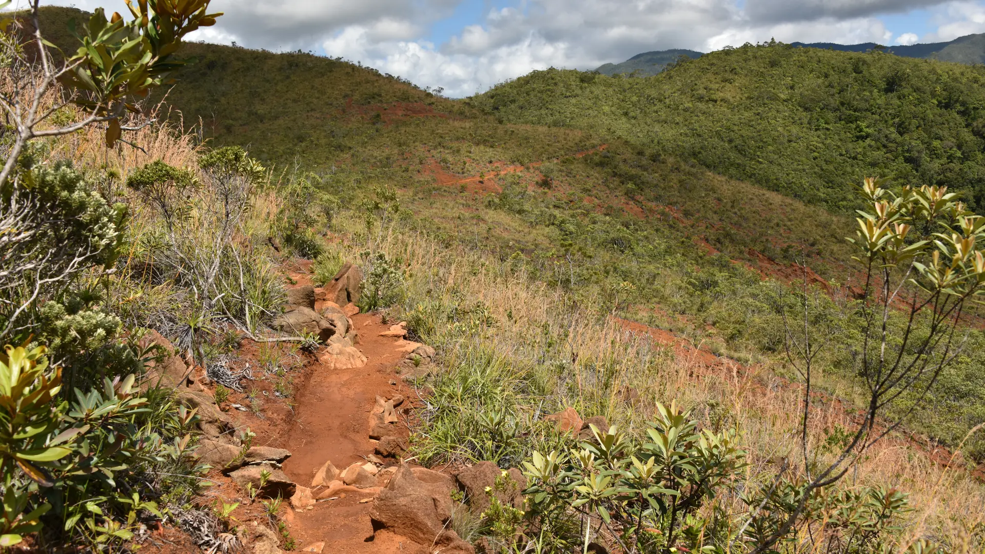
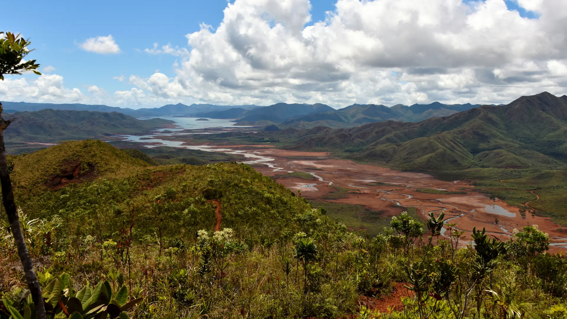
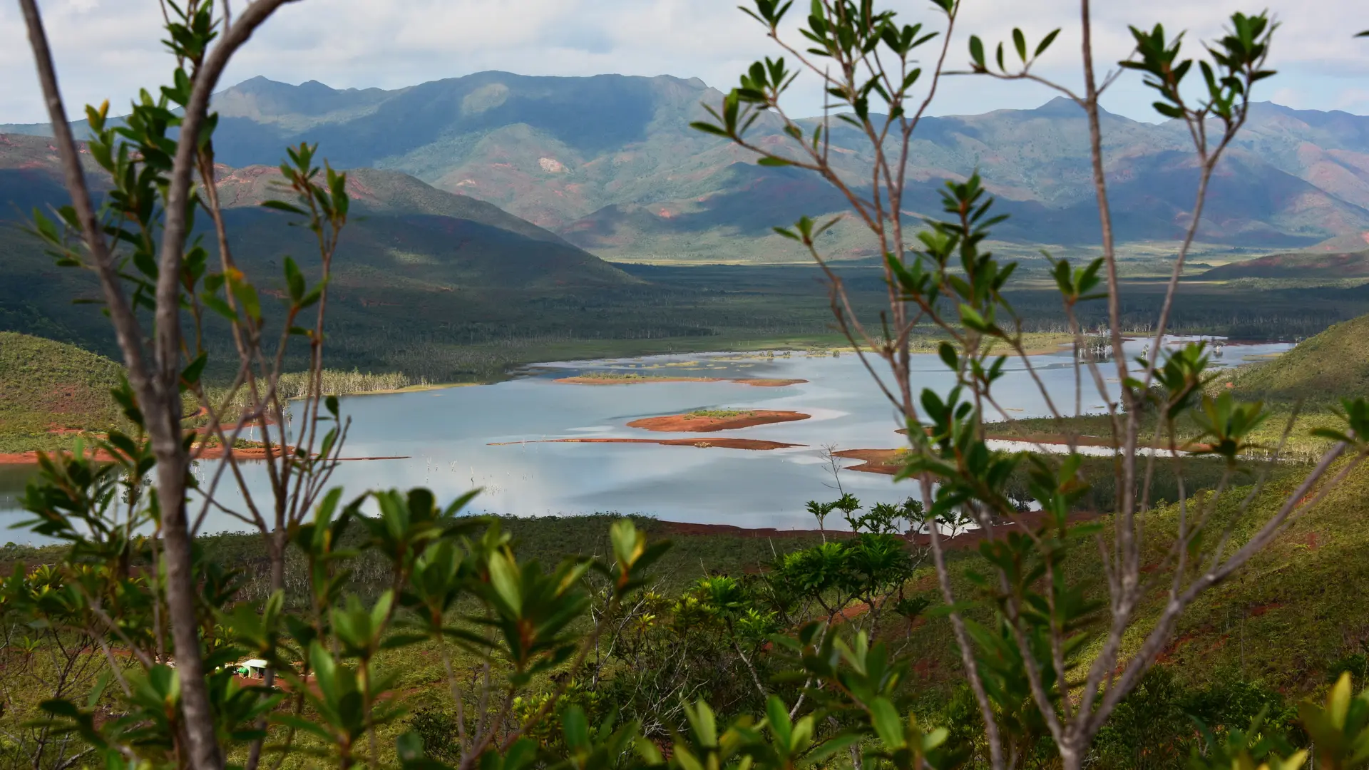
The itinerary is part of the network of trails that cross the ridge separating the low valleys of the Blue River, in the North-East, and the White River and the Month of May, in the West. Diversified and pleasant, it offers very beautiful points of view.
The use of the shuttle bus reduces the distance covered on foot (to be reserved at the entrance desk).
Further information on localisation
Further information on localisation
Location : Blue River Provincial Park, North-East of Nouméa by the RP 1, RP 3, direction Pont Pérignon (parking), then shuttle (paying service) or personal mountain bike (26 km A.R.)
Parking : Pont Pérignon (GPS : 675 578 - 7 551 735 ; alt. 173 m)