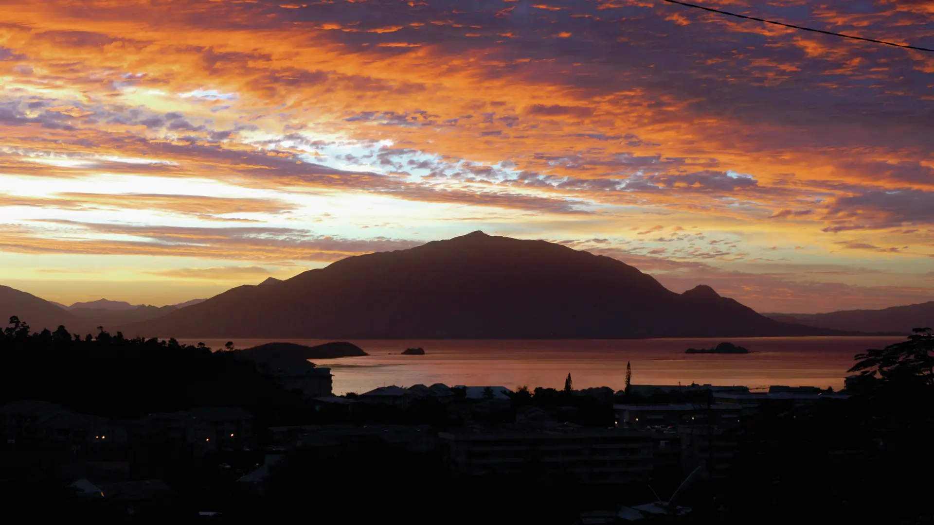
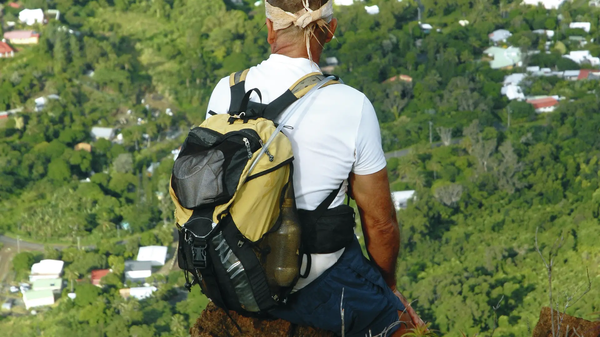
The imposing mass of Mont-Dore stands south-east of Nouméa. It overlooks the whole of the Great South and Nouméa. The most spectacular route to the summit is probably the one that climbs the south-east ridge of the mountain.
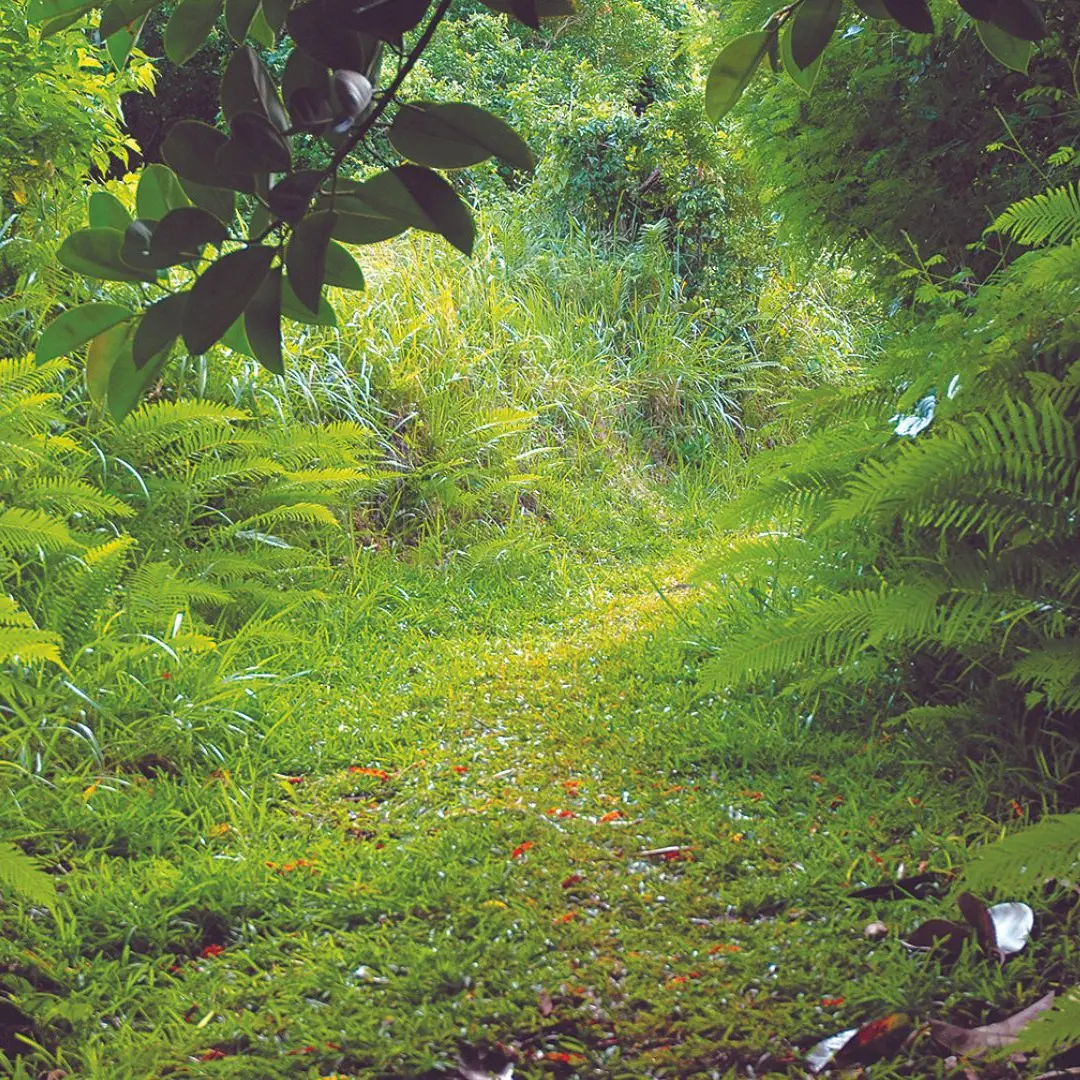
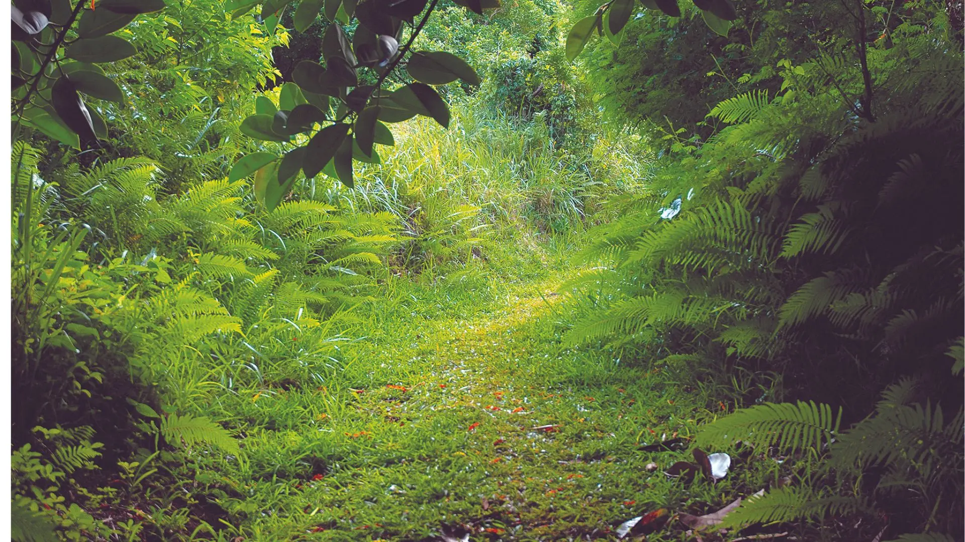
D Start by walking along the old grassy track for 20 m, then take the left trail uphill (north). After a few twists and turns, you’ll reach a gate. Turn left to cross a small wooded combe. You’ll go through some muddy sections. At the end, find your footing on an old track
overgrown by vegetation. Follow the contour line (beautiful view of the lagoon). When you reach the end, turn right to climb the slope (the steps cut into the earth will help). Cross several terraces, one after the other. As you approach the pass, cross a small, dry thalweg and you’ll arrive at the crest.
1 Pass (GPS: 664 759 – 7 535 469; alt. 325 m): pass the hillock located right in the middle of it and climb straight up the slope (north-west). The track is clearly visible and follows the edge of the rising crest. It crosses a succession of shoulders and saddles and passes a topographic marker (a small red and white pole).
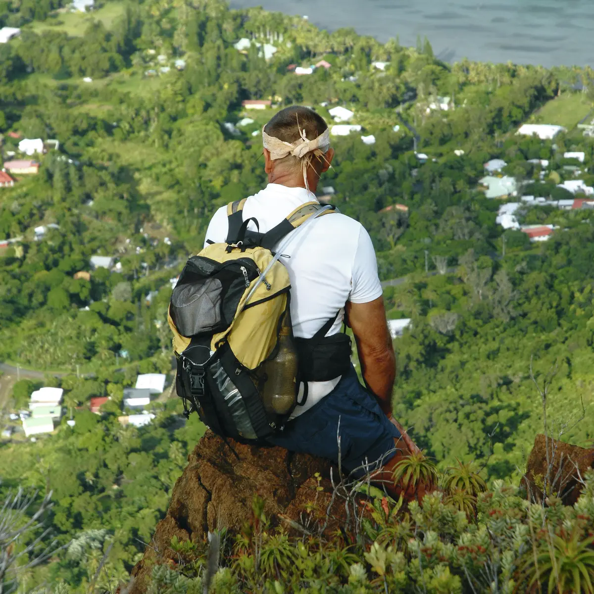
2 Hill 578 (GPS: 664 267 – 7 536 048) (mountain environment between sea and sky; Nouméa peninsula viewpoint): continue along the ridge to the summit plateau (ignore the trail off to the right).
3 Intersection (GPS: 663 933 – 7 536 849; alt. 735 m): reach the summit. Continue straight ahead and avoid the trail off to the right along the contour line (note: finding your way can be tricky when it’s misty). Join the trail that climbs from Col de Plum (Plum Pass).
5 Summit of Mont-Dore (GPS: 663 654 – 7 537 113; alt. 772 m): you can go back the way you came or follow the Mont-Dore trail (the usual route from Plum).