This loop, with its varied landscapes, follows old mule trails that linked the chrome mining sites by following the shape of the terrain.
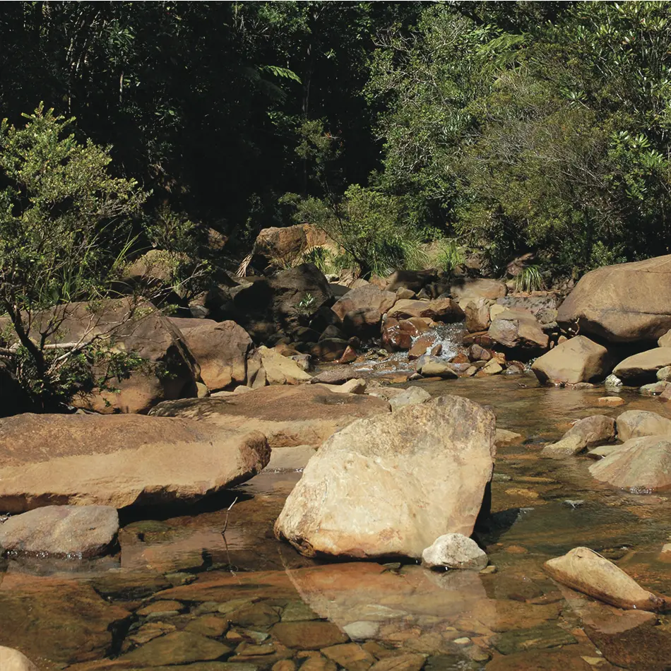
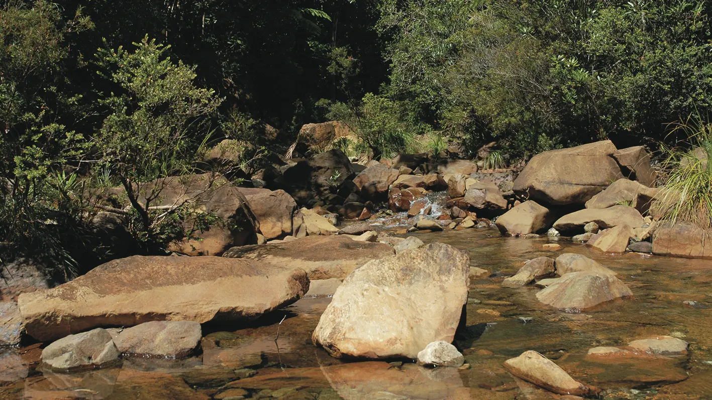
D Departure: head south-west (GR® NC1) and cross the ford of creek des Électriques (be careful, do not cross in rainy weather). Follow the good dirt track that runs towards the Muletiers hut. Cross 2 creeks (some pleasant water holes). Go past the Muletiers refuge, then, after about 450m, leave the GR® NC1 and take the path on the left.
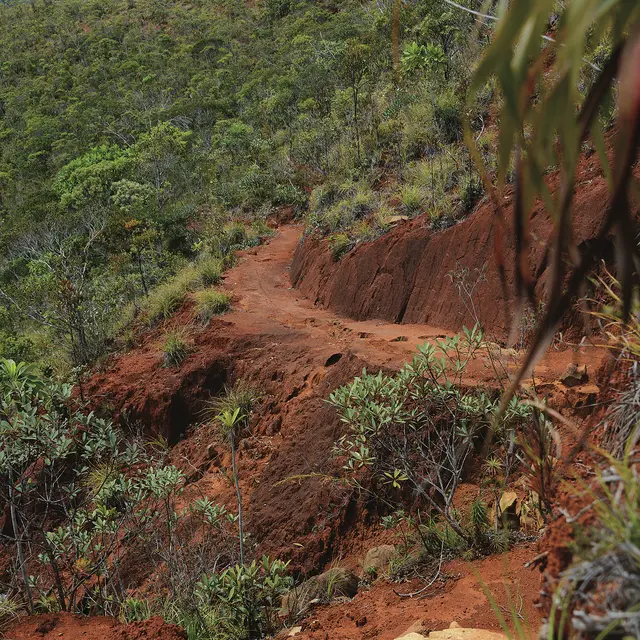
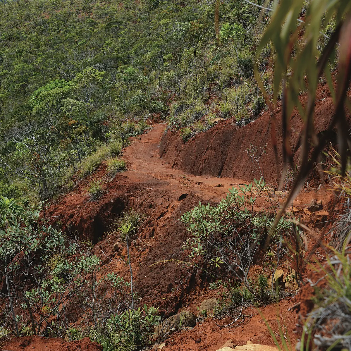
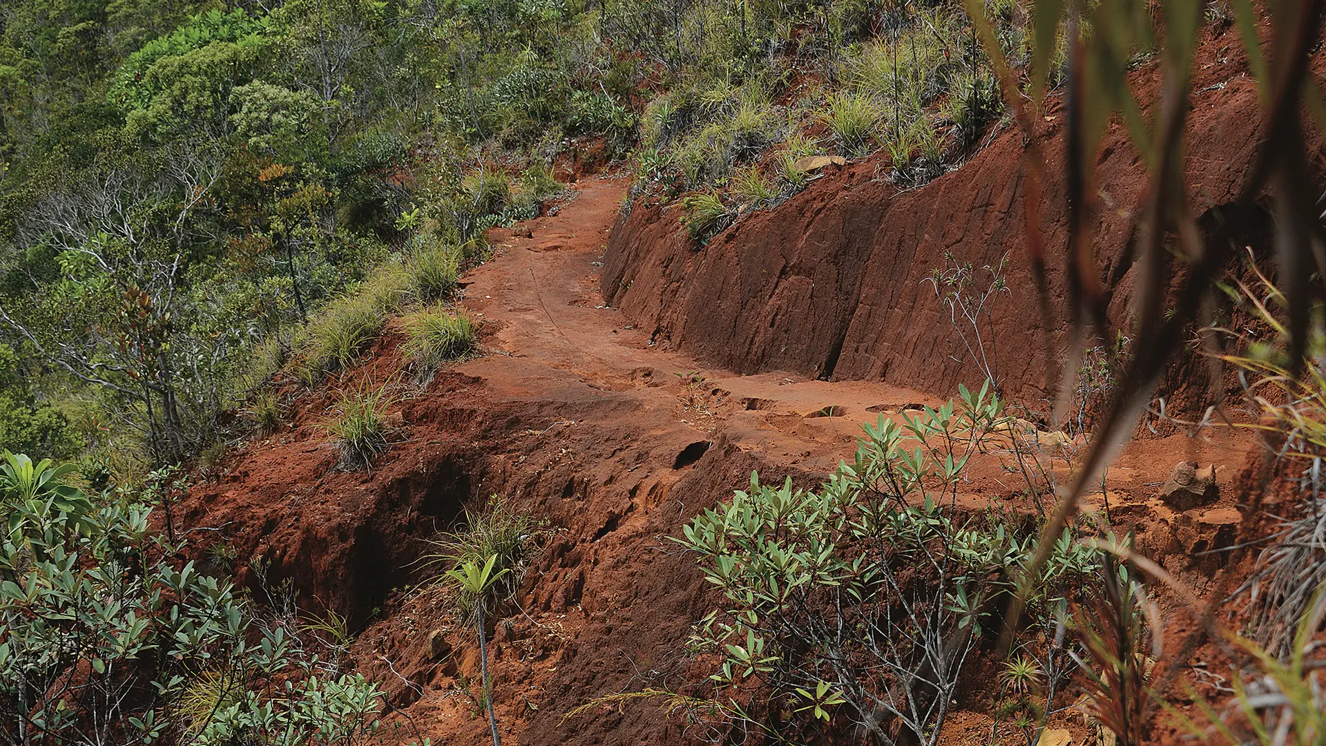
1 Beginning of the track (GPS: 671 196 – 7 548 394; alt. 191m): climb the zigzags of the old mule track (sometimes slippery climb). Come to a saddle marked by a post.
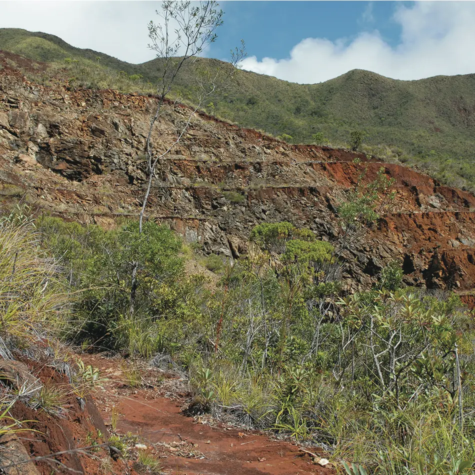
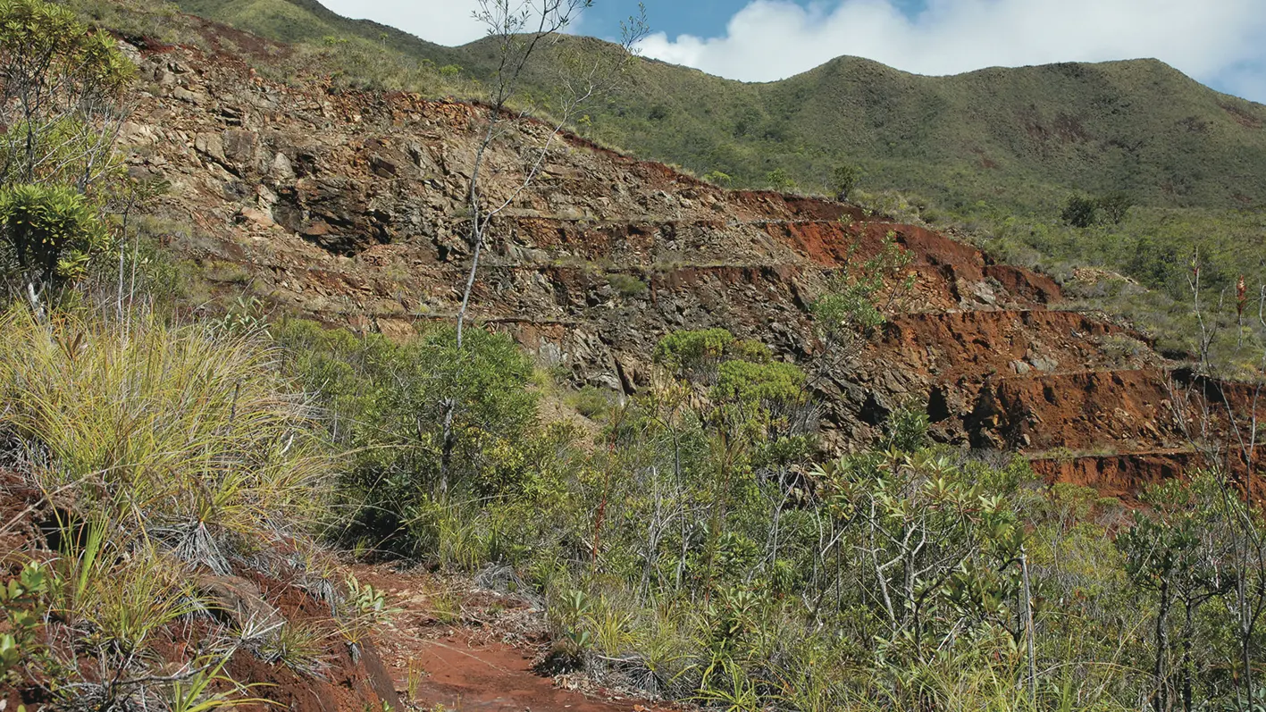
2 Saddle (GPS: 670 779 – 7 548 062; alt. 285m): continue on the northern flank of the ridge line. Cross several thalwegs or eroded ravines that slope towards the north. Reach the mine. At a hairpin at the edge of the excavation, turn left.
3 Fork (GPS: 670 019 – 7 547 801; alt. 446 m)(panel): turn left. Continue straight (note the track on the right is closed: gully and dangerous terrain). The path follows the level curve, quickly enters the forest and crosses several thalwegs lost in the vegetation (the shaded areas alternate with the bush). Reach a fork.