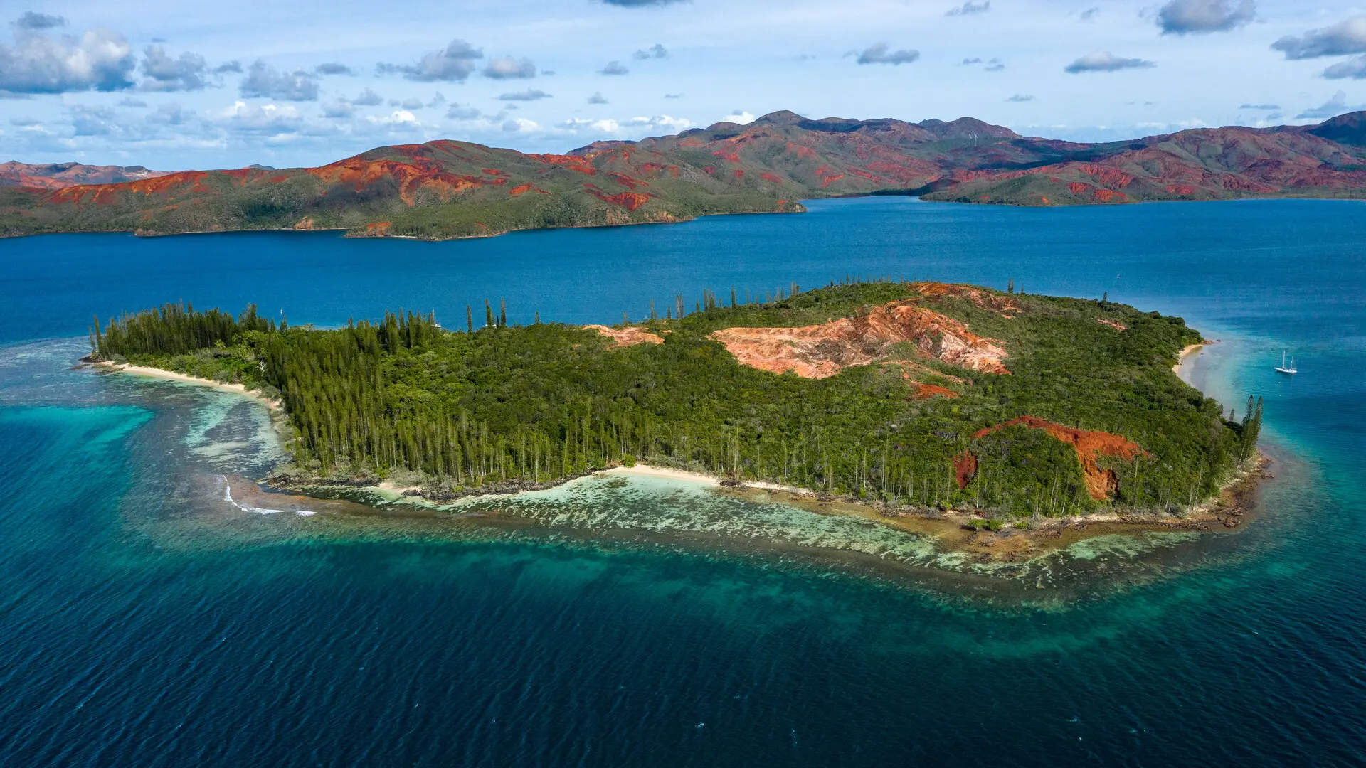
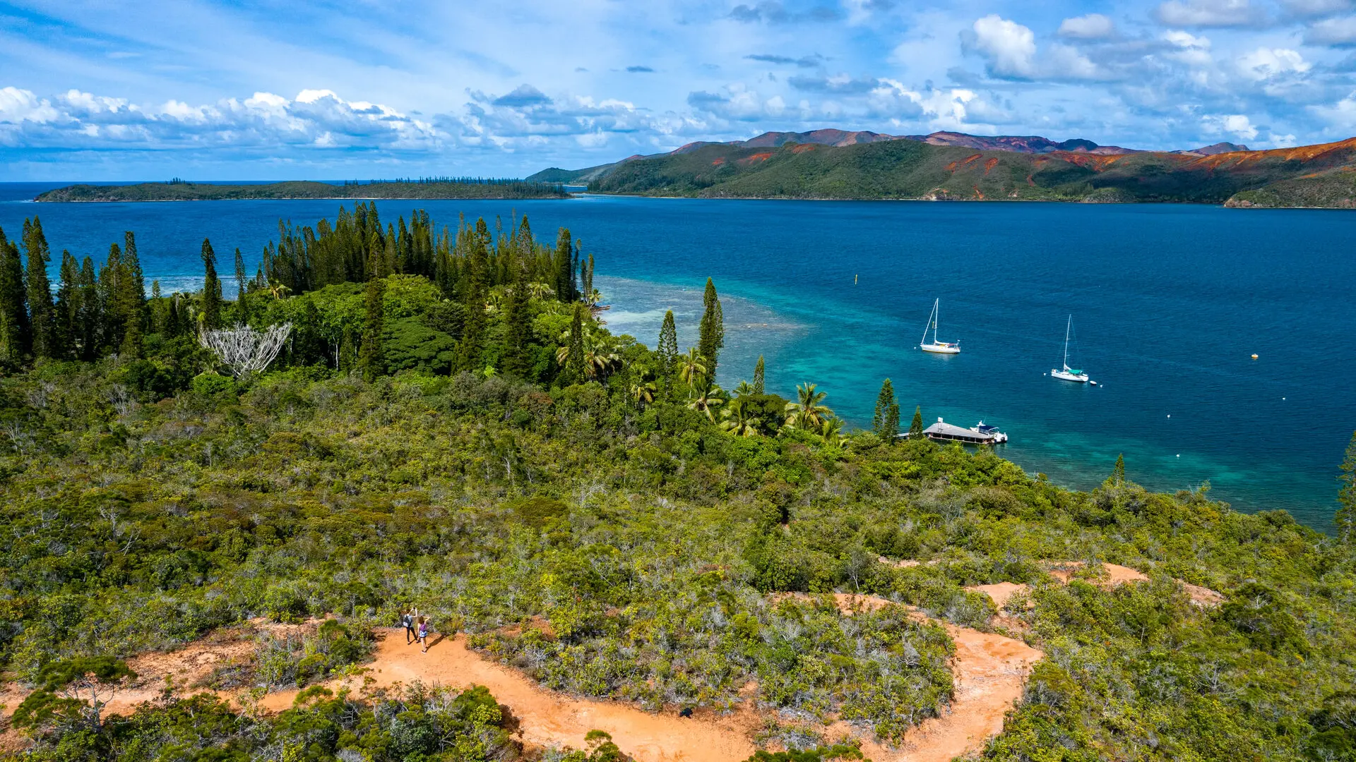
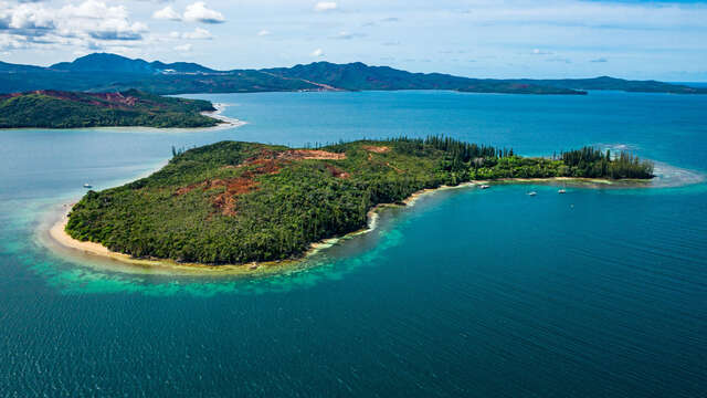
Tour of the Casy islet. Itinerary full of history (remains of the prison: cultivation area, a cemetery with some graves). It goes through beautiful forests of araucarias and cycas. Some pleasant and shaded coves mark the route.
D Departure (GPS: 689 815 – 7 526 562; alt. 1m): from the wharf, head south-east along the seaside, among the tall trees.
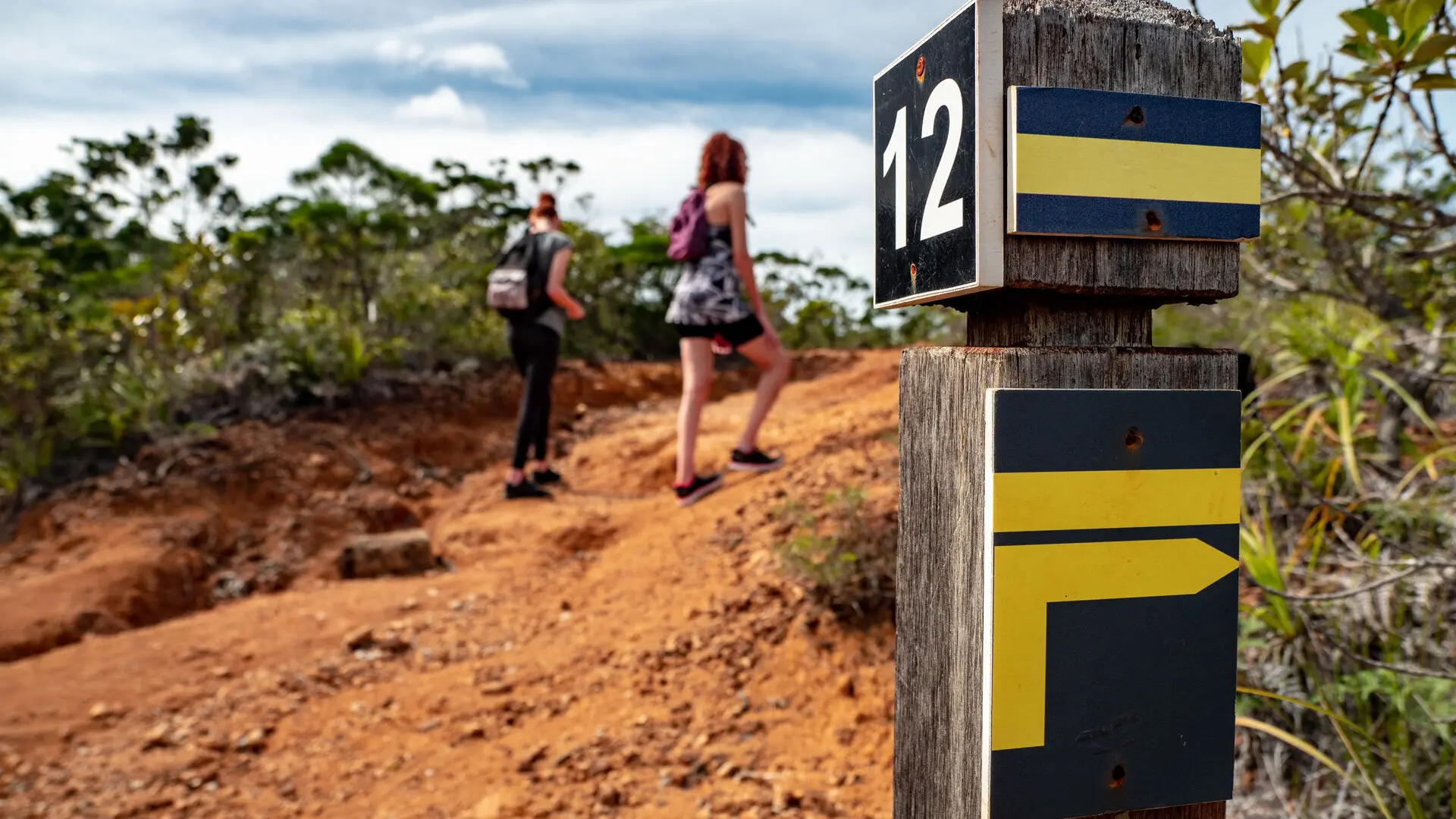
1 Shortcut (it starts on the left and enables you to reach the east coast directly at No. 4): continue to the end of the clearing. Take the marked and maintained path.
2 Access to the old well: from this point, continue on the main track and climb towards the south-east up a small steep path to reach the cemetery at the top of the hill.
3 Tombs (GPS: 689 899 – 7 526 295; alt. 15m): turn left towards the east and descend in zigzags towards the seaside. At the beach, head north (view of the Goro Nickel factory) progressing along the seaside to the next intersection.
4 Shortcut (it goes to the left, towards the west, and directly joins point No. 1): walk straight ahead among the columnar pines and cycads along the beach. At its northern end, bypass the rocky outcrop to the left.
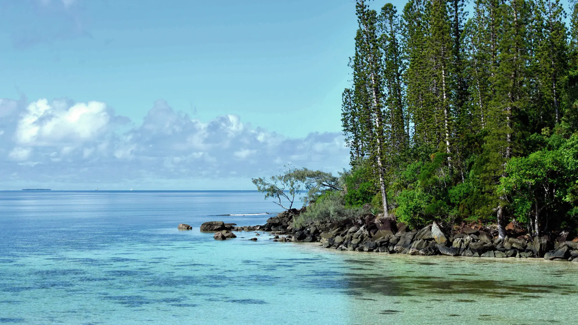
5 Black Stones (GPS: 690 047 – 7 526 538; alt. 7m) after a short climb, walk above the shore to pass a small cape and reach a beautiful beach framed by black rocks and columnar pines.
6 Viewpoint (GPS: 690 120 – 7 526 854; alt. 10m) (view of the entire eastern part of the north Bay and the Goro Nickel factory): leave the shore and climb due west through a small forest, towards the plateau. You reach a bowl of red earth.
7 Crossing (GPS: 690 120 – 7 526 854; alt. 10m): take a sharp right towards the north-west, then the north (the path which goes to the left, towards the west, leads directly to the starting point). Go along the eastern edge of the plateau and down towards the seaside through a small forest. Cross a wooden culvert.
8 Camp site (GPS: 689 896 – 7 527 067; alt. 10m): at this point, turn left to leave the seaside and go up towards the plateau in a short, shaded climb. At the level of the ravine area, take a clear right
(west) to reach an intersection.
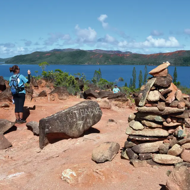
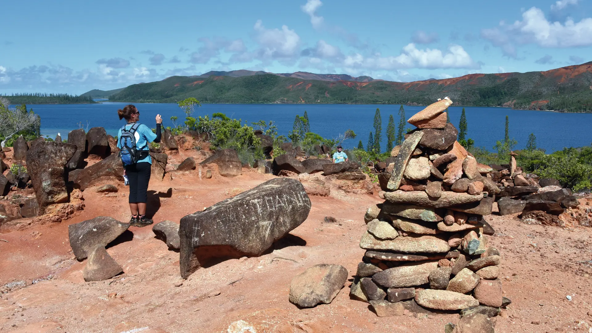
9 Access to the seaside (the well-marked track, on the right, descends towards a shaded beach; a pleasant picnic area): return to the route and continue towards the south-west, then the east. Reach the bare plateau and a fork (on the left, a path leads to a pretty viewpoint with many cairns).
10 Access cairns: return to the junction. Turn left to the next point.
11 Plateau crossroads (GPS: 689 854 – 7 526 769; alt. 35m) (on the left is the destination of the shortcut towards the east): continue on the main path towards the south, until the next intersection.
12 Access to the summit (on the left, a short climb leads to the highest point of the island, alt. 45m): return to the wharf by a few zigzags.