Site of an old logging operation, the Bois du Sud is home to a beautiful humid forest. While walking along the two trails, hikers can discover some remarkable species such as the gum oak, the houp or the kaori.
With luck you will also be able to observe humid forest bird; on the other hand, make sure you bring enough water with you because there is no source of water on the heights of the Bois du Sud
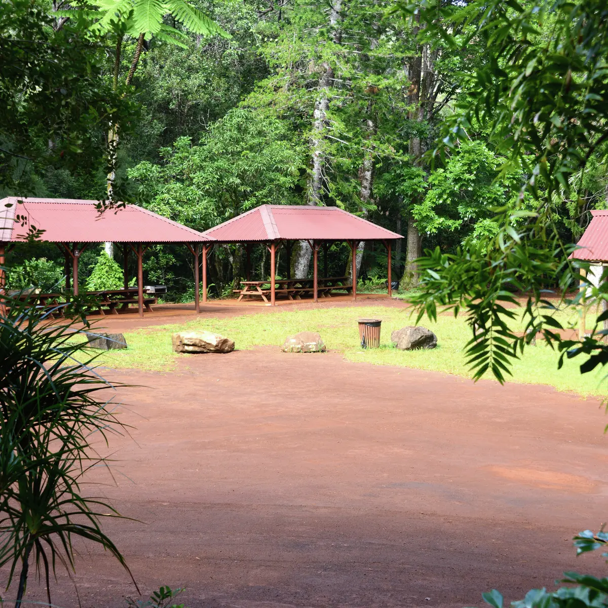
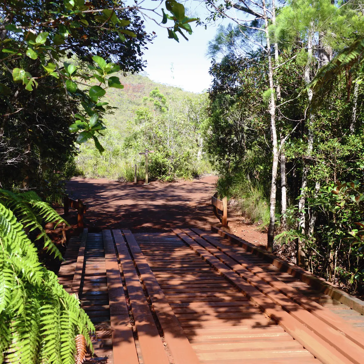
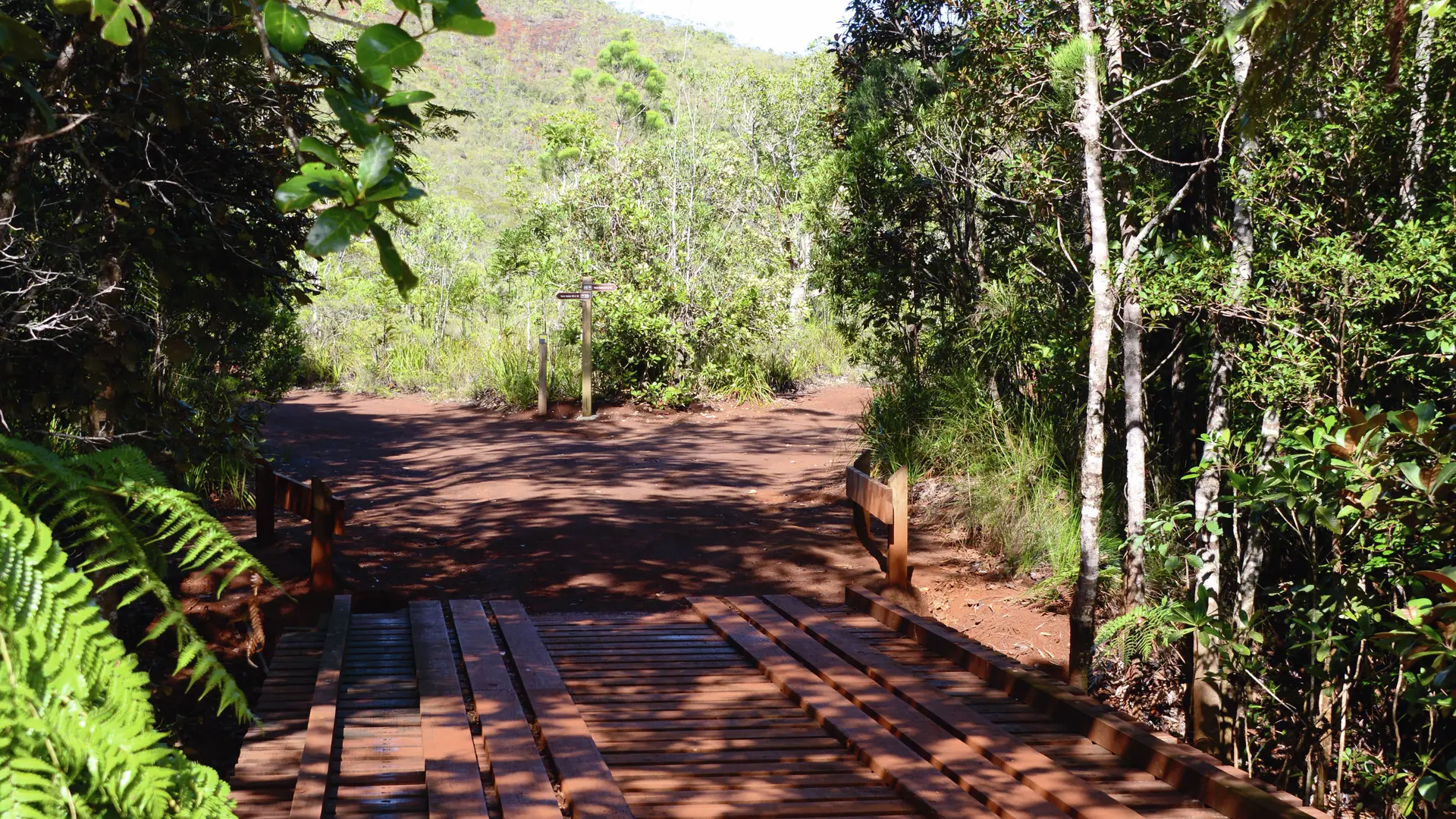
D - Car park: head south to reach a wooden bridge located between tall trees. No dogs allowed.
1 - History of the site, fauna and flora panel (GPS: 681 553 – 7 547 055; alt. 194m): cross the bridge. Turn left and then, immediately afterwards, take the path which enters the bush on the right (south-west). It winds through the shrubs and gradually begins a zigzag climb among the blocks of hardened laterite soil (a few steps sometimes). Continue climbing to reach a lookout.
2 - Information panel (GPS: 681 376 – 7 546 743; alt. 261m) (located near an old prospecting shaft): the track then begins a slow descent in a thalweg filled with rough shrubby vegetation, then rises slightly, passing through the bush to an open shoulder.
3 - Lookout (GPS: 681 531 – 7 546 634; alt. 274m): towards the Bois du Sud forest. Continue the descent and join a good dirt track. Turn left (north-west) and then, a little further on, turn right (north-east) towards the narrow path that enters the humid forest.
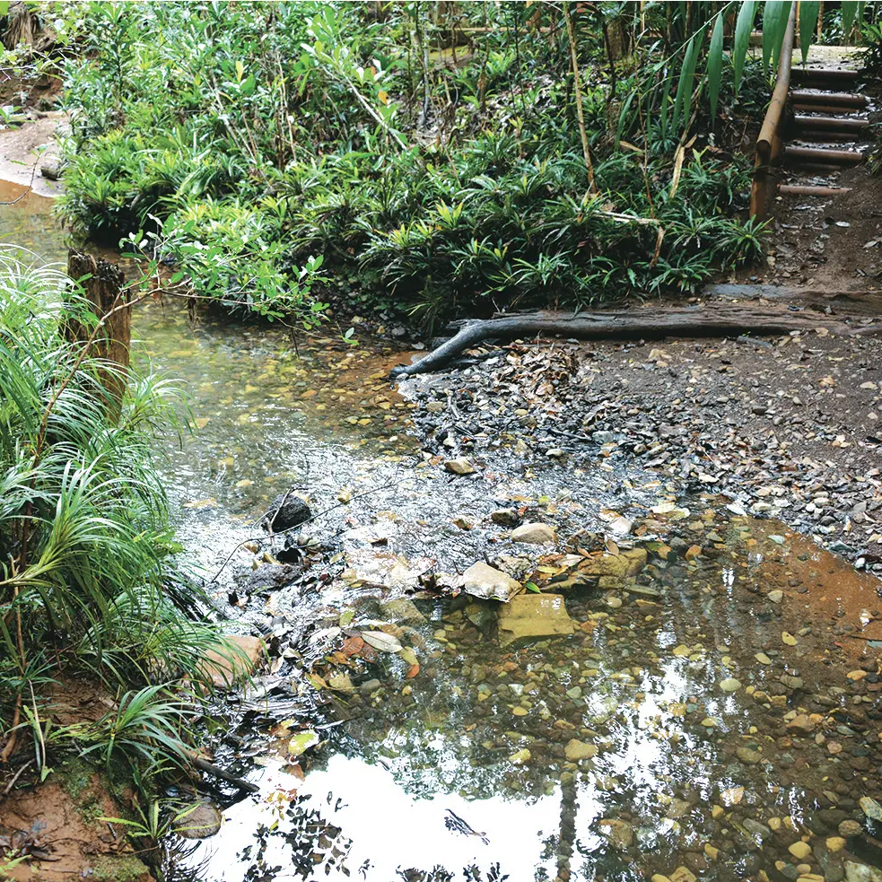
4 - Humid forest information panel (GPS: 681 611 – 7 546 943; alt. 203m): the path meanders through dense stands of tall trees, on the left bank of the creek which "gurgles" in the half-light.
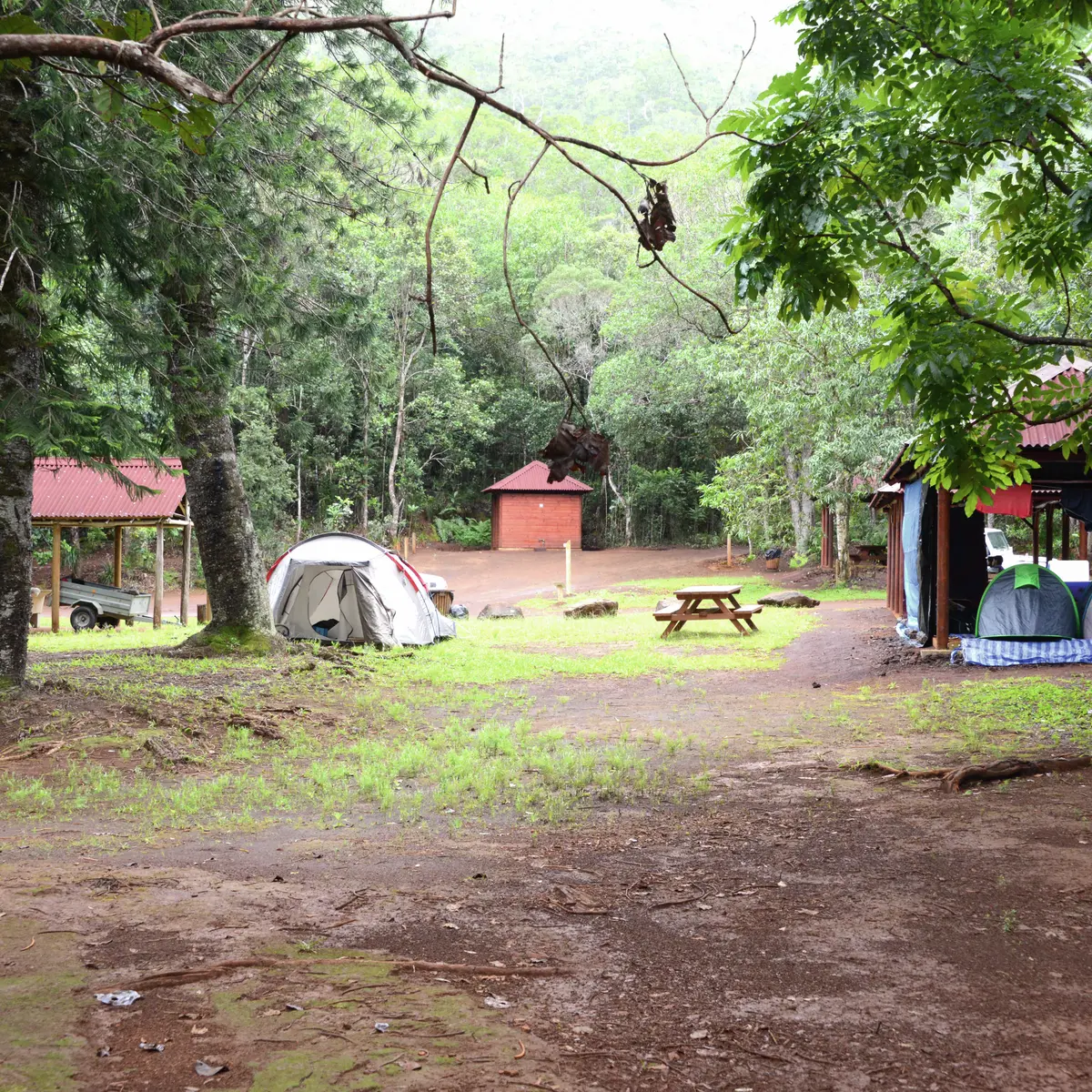
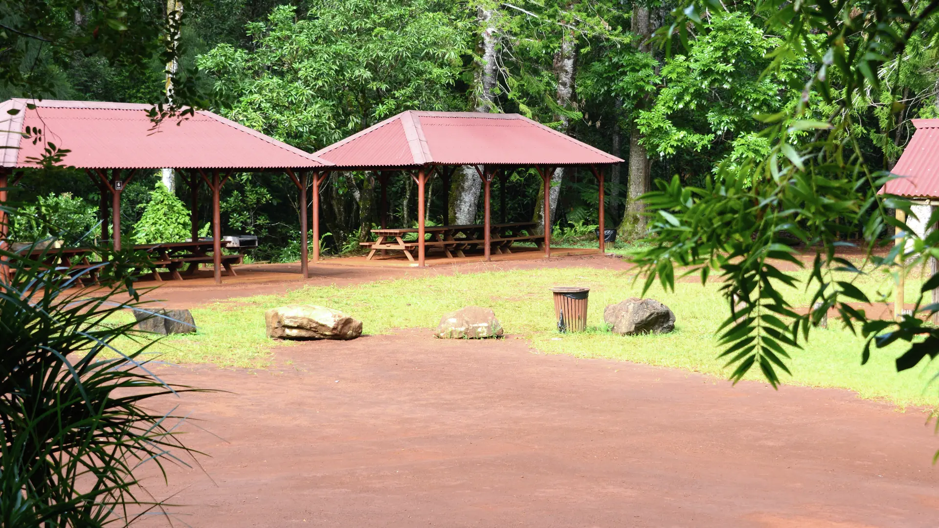
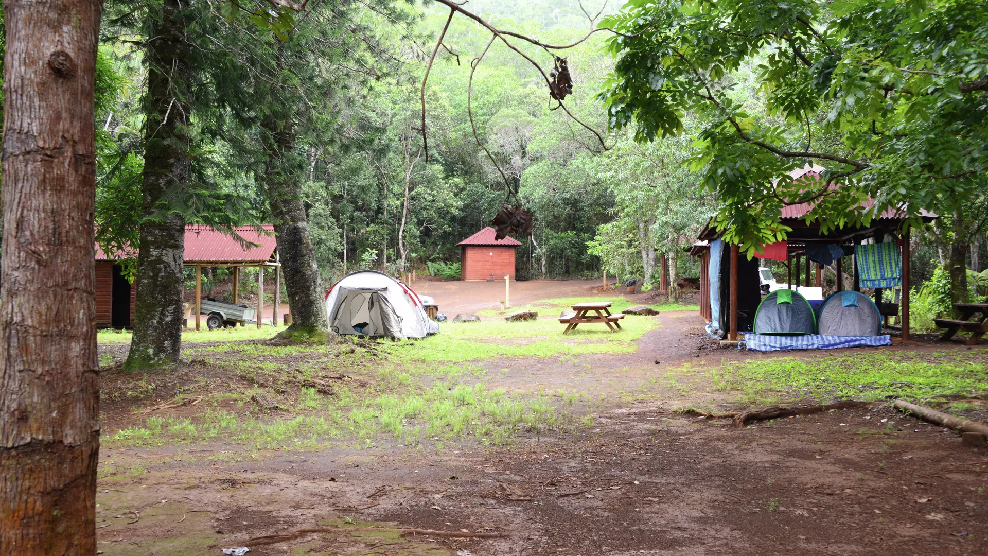
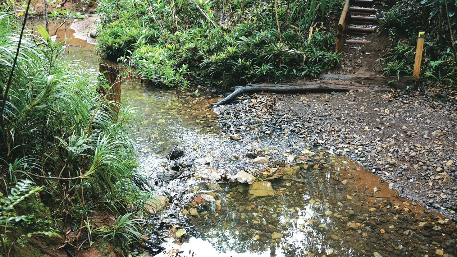
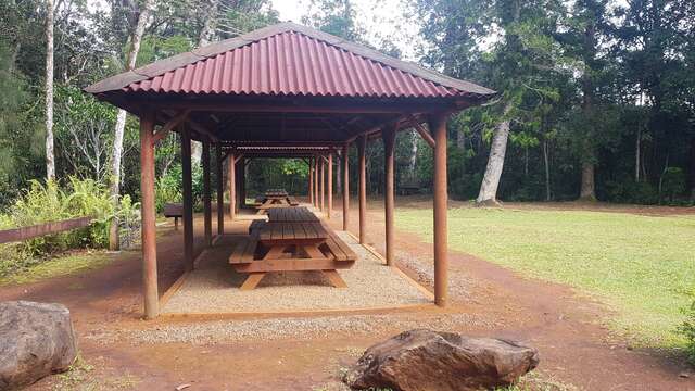
5 - Kaori information panel (GPS: 681 666 – 7 546 955): shortly after the panel, the route descends to the creek by means of a short staircase. Cross to reach the opposite bank (the water level is variable). Follow the right bank upstream for a short distance and come to a clearing where there are shelters. Cross straight ahead of the entire developed area to reach the right track which leaves the site. Turn right (east) into the forest.
>This part is shared with the GR® NC1 (double marking: red and white; yellow).
Go past the last camping pitches and, after a bend, turn right to find a narrower path that winds through the forest.
6 Water hole information panel (GPS: 681 869 – 7 546 792; alt. 208m): continue on the marked trail towards the south-west, then cross a maintained ditch. The path then leads to a good red dirt track where the GR® NC1 passes. Turn left and return to the start.